Transport Functions
Port
Road
Hub Profile
Place type
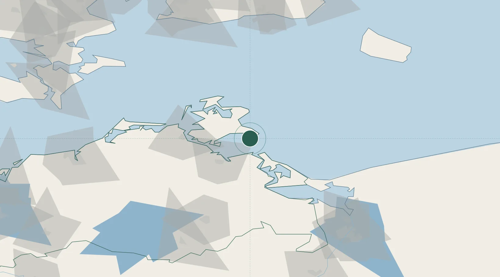
Populated place
Region
Mecklenburg-Vorpommern
Population
415
Time zone
Europe/Berlin
Elevation
1 m
Location
Nearby Logistics Neighbours
Cities
- 1Ostseebad Goehren5 km
- 2Vierow7 km
- 3Binz12 km
- 4Lubmin19 km
- 5Peenemünde20 km
Ports
- 1Sassnitz24 km
- 2Wolgast29 km
- 3Stralsund38 km
- 4Swinoujscie57 km
- 5Police100 km
Airports
- 1Heringsdorf Airport56 km
- 2Neubrandenburg Trollenhagen Airport81 km
- 3Rostock-Laage Airport101 km
- 4Bornholm Airport110 km
- 5Solidarity Szczecin–Goleniów Airport113 km
Trade Zones
- 1Swinoujscie Duty Free Zone59 km
- 2Szczecin Duty Free Zone114 km
- 3MTS Malmö Transport and Spedition150 km
- 4Freeport of Copenhagen- Nordhavn172 km
- 5Kostrzyń-Słubice SEZ200 km
DatabookThe Record of Consolidated Knowledge
Germany beyond logistics?