Transport Functions
Port
Road
Hub Profile
Place type
Populated place
Region
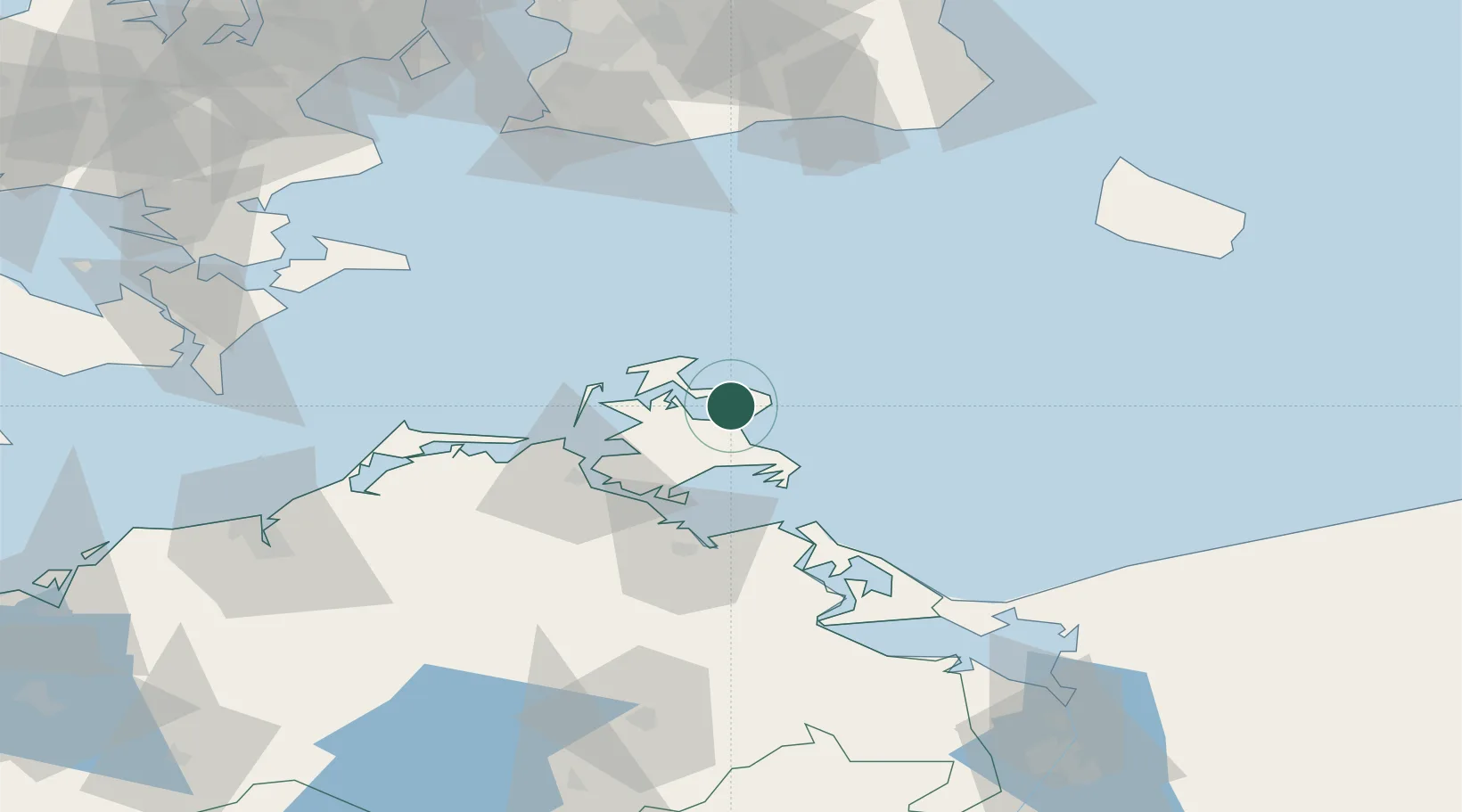
Mecklenburg-Vorpommern
Population
4,881
Time zone
Europe/Berlin
Elevation
29 m
Location
Nearby Logistics Neighbours
Cities
- 1Binz15 km
- 2Altenkirchen (Rügen)18 km
- 3Schaprode25 km
- 4Ostseebad Goehren25 km
- 5Gager27 km
Ports
- 1Sassnitz7 km
- 2Stralsund38 km
- 3Wolgast56 km
- 4Swinoujscie83 km
- 5Trelleborg95 km
Airports
- 1Heringsdorf Airport83 km
- 2Bornholm Airport97 km
- 3Neubrandenburg Trollenhagen Airport105 km
- 4Rostock-Laage Airport107 km
- 5Malmö Sturup Airport112 km
Trade Zones
- 1Swinoujscie Duty Free Zone85 km
- 2MTS Malmö Transport and Spedition123 km
- 3Szczecin Duty Free Zone141 km
- 4Freeport of Copenhagen- Nordhavn145 km
- 5Freeport of Kiel219 km
DatabookThe Record of Consolidated Knowledge
Germany beyond logistics?