Medium airport · Denmark
Bornholm AirportEKRN
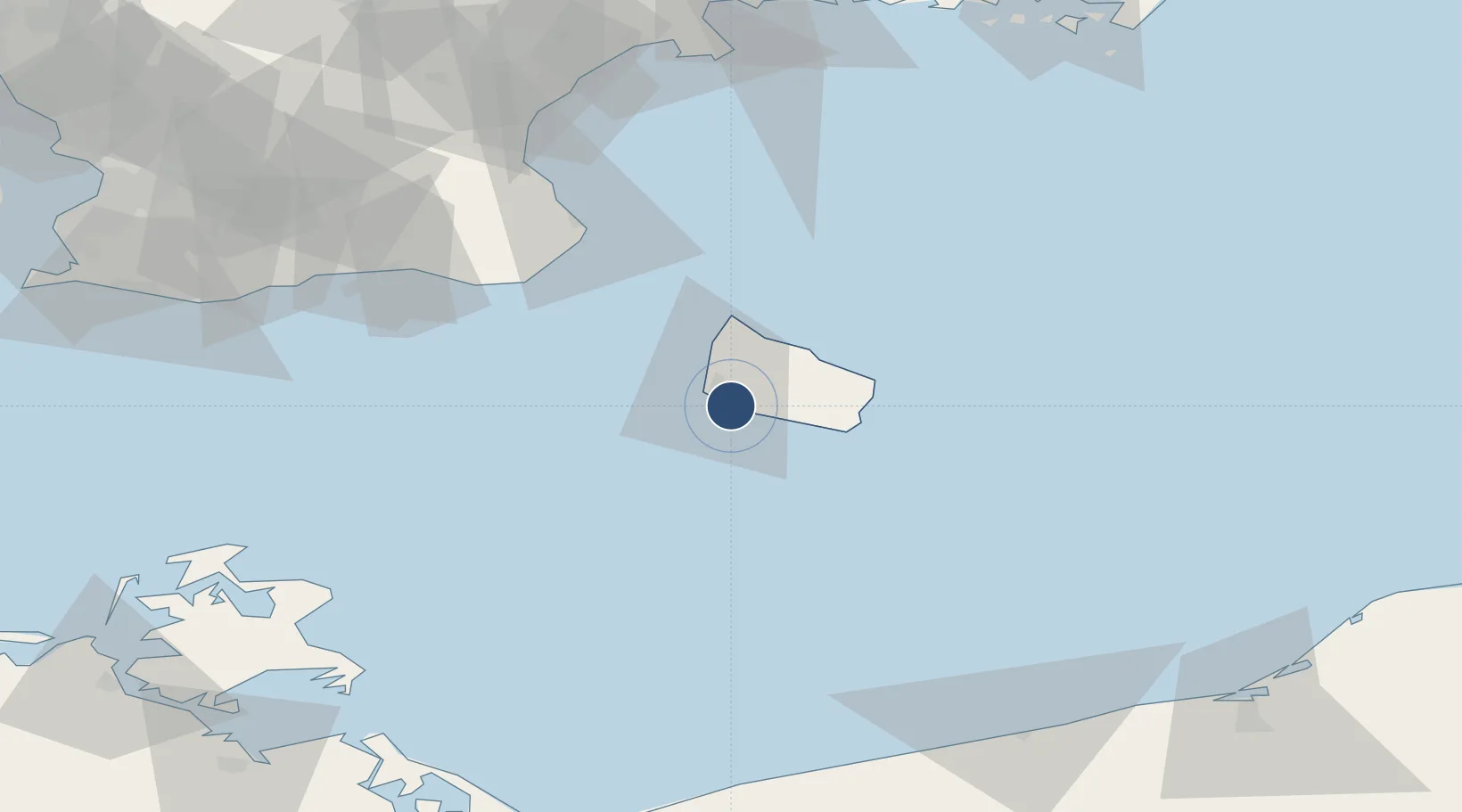
55.0633°, 14.7596°
6,568 ft
Longest runway
1
Runways
52 ft
Elevation
Runway & Layout

Radio Frequencies
APP/TWR
118.325 MHz
MISC
131.55 MHz
HANDLING
Navaids
ROE TACAN Ronne 112.00 MHz
ROE VOR-DME Ronne 112.00 MHz
Runways · 1
| Runway | Dimensions | Surface | True heading | Lit |
|---|---|---|---|---|
| 11/29 | 6,568 × 148ft | Asphalt | 114° | ✓ |
Airport Specifications
IATA code
RNN
ICAO code
EKRN
Airport class
Medium airport
Scheduled service
Yes
Runway surface
Asphalt
Served city
Rønne
Location
Nearby Logistics Neighbours
Airports
- 1Malmö Sturup Airport102 km
- 2Kristianstad Airport105 km
- 3Heringsdorf Airport137 km
- 4Ronneby Airport138 km
- 5Copenhagen Kastrup Airport147 km
Cities
- 1Åkirkeby11 km
- 2Gudhjem22 km
- 3Allinge23 km
- 4Hammerhavn25 km
- 5Sandvig25 km
Ports
- 1Ronne6 km
- 2Hasle14 km
- 3Nekso24 km
- 4Christianso Harbor39 km
- 5Simrishamn61 km
Trade Zones
- 1MTS Malmö Transport and Spedition121 km
- 2Swinoujscie Duty Free Zone133 km
- 3Freeport of Copenhagen- Nordhavn154 km
- 4Słupsk SEZ (Słupska SSE)160 km
- 5Szczecin Duty Free Zone183 km
DatabookThe Record of Consolidated Knowledge
Denmark beyond logistics?