Transport Functions
Port
Hub Profile
Place type
Populated place
Region
Mecklenburg-Vorpommern
Time zone
Europe/Berlin
Elevation
2 m
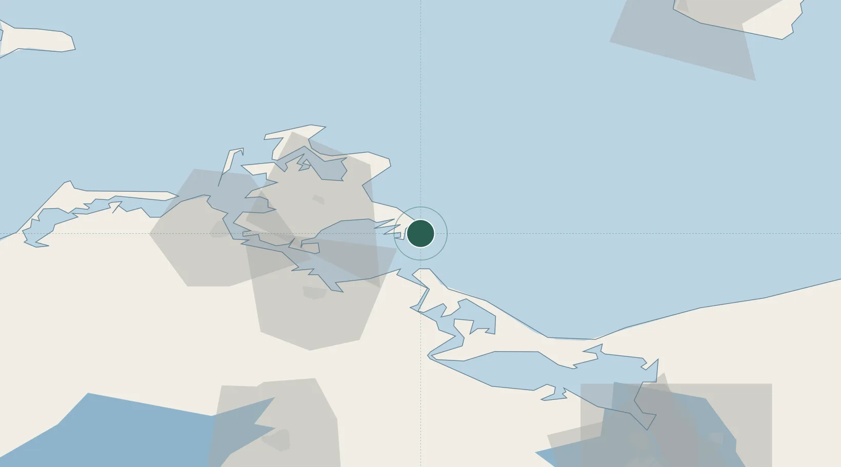
Location
Nearby Logistics Neighbours
Cities
- 1Ostseebad Goehren5 km
- 2Gager7 km
- 3Binz16 km
- 4Peenemünde19 km
- 5Lubmin22 km
Ports
- 1Sassnitz26 km
- 2Wolgast28 km
- 3Stralsund44 km
- 4Swinoujscie53 km
- 5Police96 km
Airports
- 1Heringsdorf Airport53 km
- 2Neubrandenburg Trollenhagen Airport84 km
- 3Bornholm Airport106 km
- 4Rostock-Laage Airport107 km
- 5Solidarity Szczecin–Goleniów Airport108 km
Trade Zones
- 1Swinoujscie Duty Free Zone55 km
- 2Szczecin Duty Free Zone111 km
- 3MTS Malmö Transport and Spedition152 km
- 4Freeport of Copenhagen- Nordhavn174 km
- 5Kostrzyń-Słubice SEZ198 km
DatabookThe Record of Consolidated Knowledge
Germany beyond logistics?