UN/LOCODE hub · Germany
DEOGO
Ostseebad Goehren
54.3333°, 13.7333°
1,280
Population
2
Transport functions
Transport Functions
Port
Road
Hub Profile
Place type
Populated place
Region
Mecklenburg-Vorpommern
Population
1,280
Time zone
Europe/Berlin
Elevation
36 m
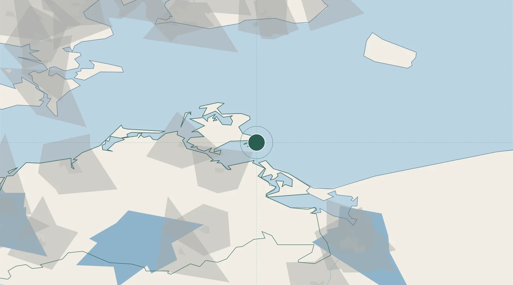
Location
Nearby Logistics Neighbours
Cities
- 1Gager5 km
- 2Vierow5 km
- 3Binz11 km
- 4Peenemünde23 km
- 5Lubmin24 km
Ports
- 1Sassnitz21 km
- 2Wolgast32 km
- 3Stralsund41 km
- 4Swinoujscie58 km
- 5Police101 km
Airports
- 1Heringsdorf Airport58 km
- 2Neubrandenburg Trollenhagen Airport86 km
- 3Bornholm Airport105 km
- 4Rostock-Laage Airport105 km
- 5Solidarity Szczecin–Goleniów Airport113 km
Trade Zones
- 1Swinoujscie Duty Free Zone60 km
- 2Szczecin Duty Free Zone115 km
- 3MTS Malmö Transport and Spedition147 km
- 4Freeport of Copenhagen- Nordhavn170 km
- 5Kostrzyń-Słubice SEZ202 km
DatabookThe Record of Consolidated Knowledge
Germany beyond logistics?