Transport Functions
Rail
Road
Hub Profile
Region
BW
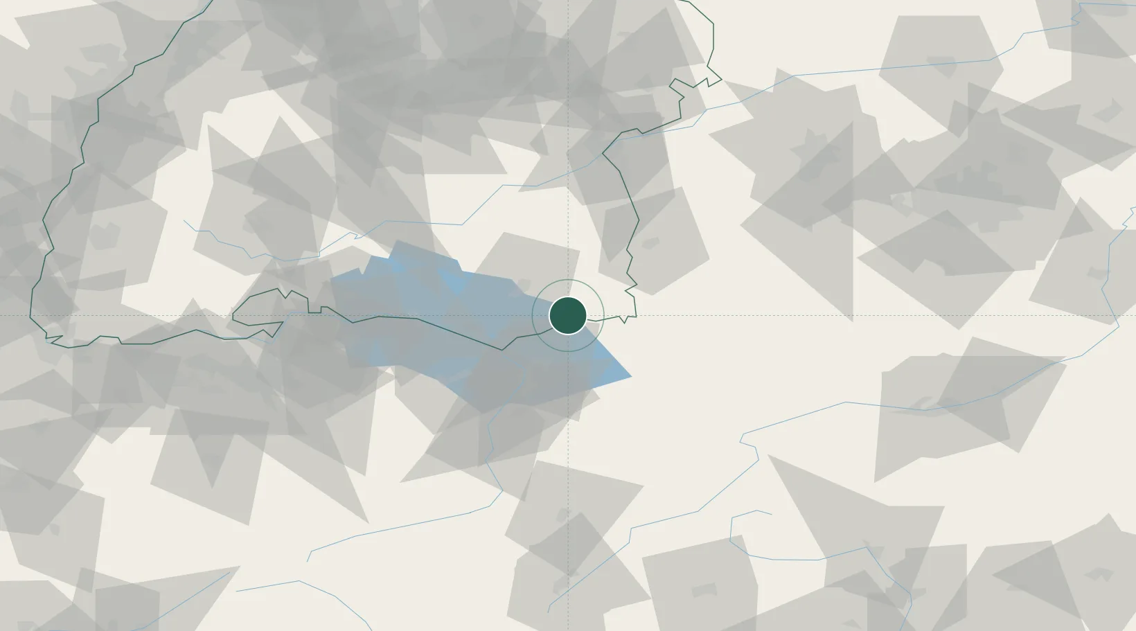
Location
Nearby Logistics Neighbours
Cities
- 1Hergatz4 km
- 2Argenbühl9 km
- 3Hergensweiler11 km
- 4Lindenberg im Allgäu11 km
- 5Bernried11 km
Ports
- 1Porto Di Lido-Venezia321 km
- 2Porto Di Chioggia332 km
- 3Nogaro332 km
- 4Grado344 km
- 5Monfalcone353 km
Airports
Trade Zones
- 1Livigno Free Trade Zone130 km
- 2ZFU Neuhof181 km
- 3ZFU Mulhouse187 km
- 4ZFU Hautepierre188 km
- 5Magazzini Generali Con Chiasso215 km
DatabookThe Record of Consolidated Knowledge
Germany beyond logistics?