Transport Functions
Rail
Road
Hub Profile
Place type
Urban district
Region
Brandenburg
Time zone
Europe/Berlin
Elevation
30 m
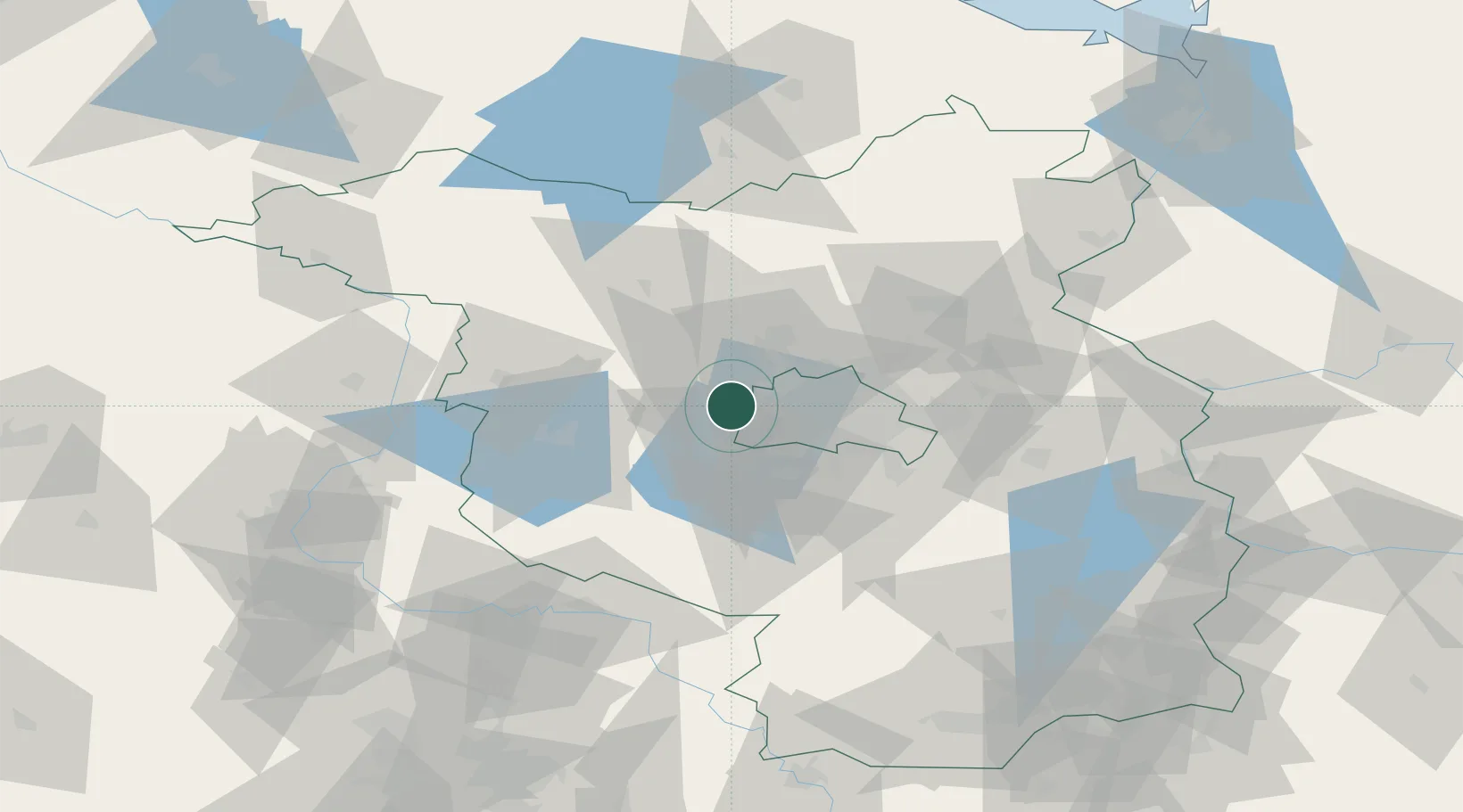
Location
Nearby Logistics Neighbours
Cities
- 1Döberitz4 km
- 2Spandau/Berlin8 km
- 3Schönwalde (Havelland)10 km
- 4Brieselang11 km
- 5Marquardt12 km
Ports
- 1Szczecin139 km
- 2Police152 km
- 3Swinoujscie173 km
- 4Wolgast175 km
- 5Rostock185 km
Airports
- 1Berlin Brandenburg Airport34 km
- 2Holzdorf Air Base85 km
- 3Zerbst Airfield87 km
- 4Neubrandenburg Trollenhagen Airport120 km
- 5Leipzig/Halle Airport137 km
Trade Zones
- 1Kostrzyń-Słubice SEZ105 km
- 2Szczecin Duty Free Zone140 km
- 3Swinoujscie Duty Free Zone171 km
- 4Most - Joseph Industrial Zone231 km
- 5Žatec - Triangle Strategic Industrial Zone240 km
DatabookThe Record of Consolidated Knowledge
Germany beyond logistics?