UN/LOCODE hub · Germany
DECCW

Schönwalde (Havelland)

52.6167°, 13.1333°
2
Transport functions

Transport Functions

Rail
Road
UN/LOCODE

Hub Profile

Region
BB
GeoNames

Location

Location of DECCW
Natural Earth 10m (public domain) · BB · DECCW · 52.62, 13.13GoogleOSMYandex

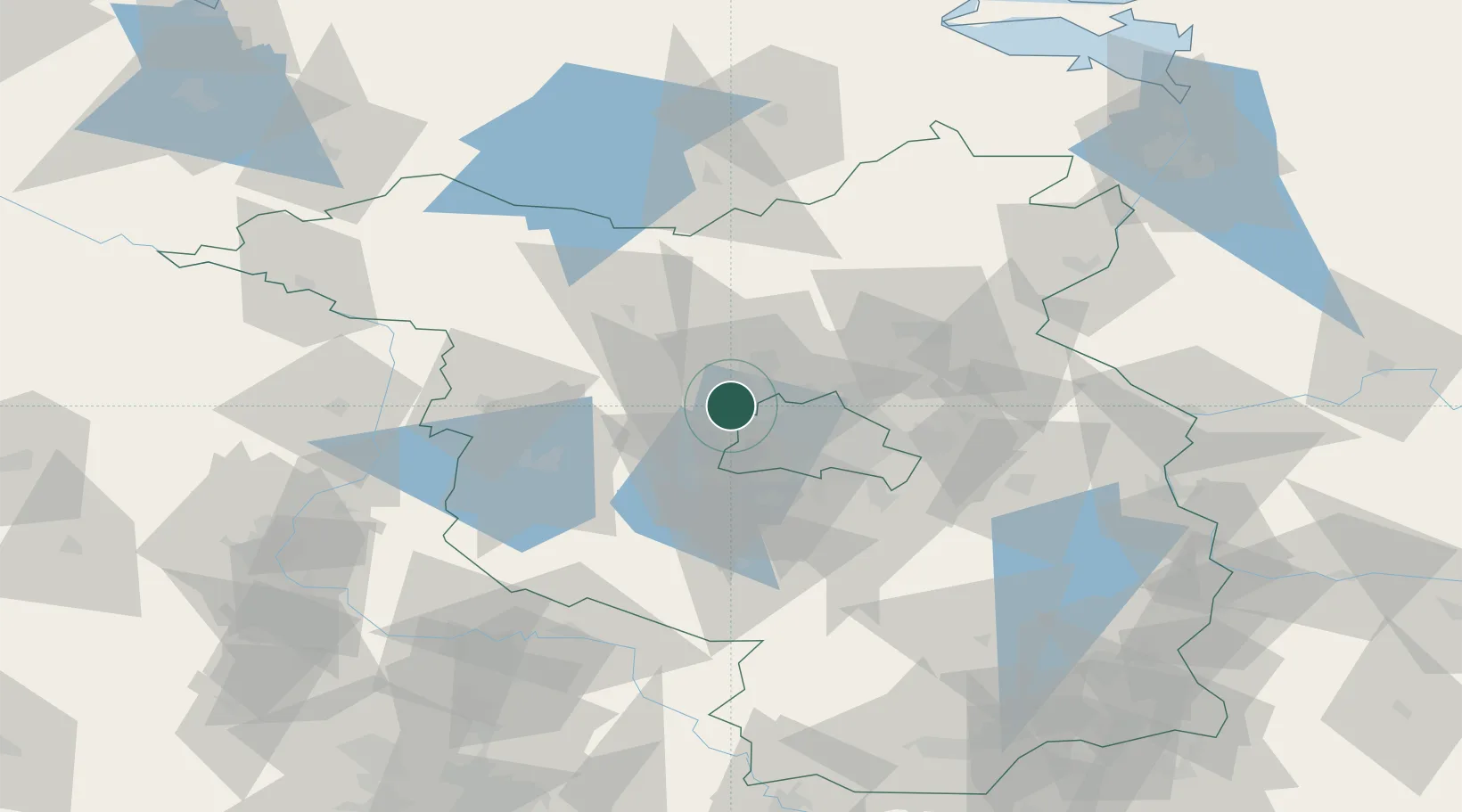
Nearby Logistics Neighbours

Cities
  1. 1Hennigsdorf6 km
  2. 2Oberkrämer8 km
  3. 3Spandau/Berlin9 km
  4. 4Brieselang9 km
  5. 5Dallgow10 km
Nearest neighbours — logibook spatial index (haversine) over the source coordinates
Ports
  1. 1Szczecin130 km
  2. 2Police143 km
  3. 3Swinoujscie163 km
  4. 4Wolgast165 km
  5. 5Rostock178 km
Nearest neighbours — logibook spatial index (haversine) over the source coordinates
Airports
  1. 1Berlin Brandenburg Airport38 km
  2. 2Holzdorf Air Base94 km
  3. 3Zerbst Airfield96 km
  4. 4Neubrandenburg Trollenhagen Airport110 km
  5. 5Leipzig/Halle Airport147 km
Nearest neighbours — logibook spatial index (haversine) over the source coordinates
Trade Zones
  1. 1Kostrzyń-Słubice SEZ102 km
  2. 2Szczecin Duty Free Zone131 km
  3. 3Swinoujscie Duty Free Zone161 km
  4. 4Most - Joseph Industrial Zone240 km
  5. 5Legnica SEZ (Legnicka SSE)243 km
Nearest neighbours — logibook spatial index (haversine) over the source coordinates
DatabookThe Record of Consolidated Knowledge
Germany beyond logistics?
Browse databook

All Sources

LocationsUN/LOCODE
UN/LOCODE — free
Portsthe NGA World Port Index
Public domain (US gov)
AirportsOurAirports
Public domain
Trade Zonesthe World Bank SEZ database
CC BY 4.0
Trade ZonesOpen Zone Map
CC BY
← Germany locations