Transport Functions
Rail
Road
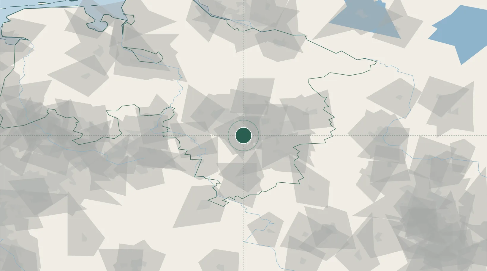
Hub Profile
Place type
District seat
Region
Lower Saxony
Population
103,052
Time zone
Europe/Berlin
Elevation
93 m
Location
Nearby Logistics Neighbours
Cities
- 1Giesen7 km
- 2Harsum7 km
- 3Heersum10 km
- 4Algermissen11 km
- 5Bad Salzdetfurth11 km
Airports
- 1Hannover Airport40 km
- 2Braunschweig-Wolfsburg Airport44 km
- 3Celle Army Airfield49 km
- 4Wunstorf Air Base50 km
- 5Bückeburg Air Base62 km
Trade Zones
DatabookThe Record of Consolidated Knowledge
Germany beyond logistics?