Transport Functions
Road
Multimodal
Hub Profile
Place type
Populated place
Region
Lower Saxony
Time zone
Europe/Berlin
Elevation
93 m
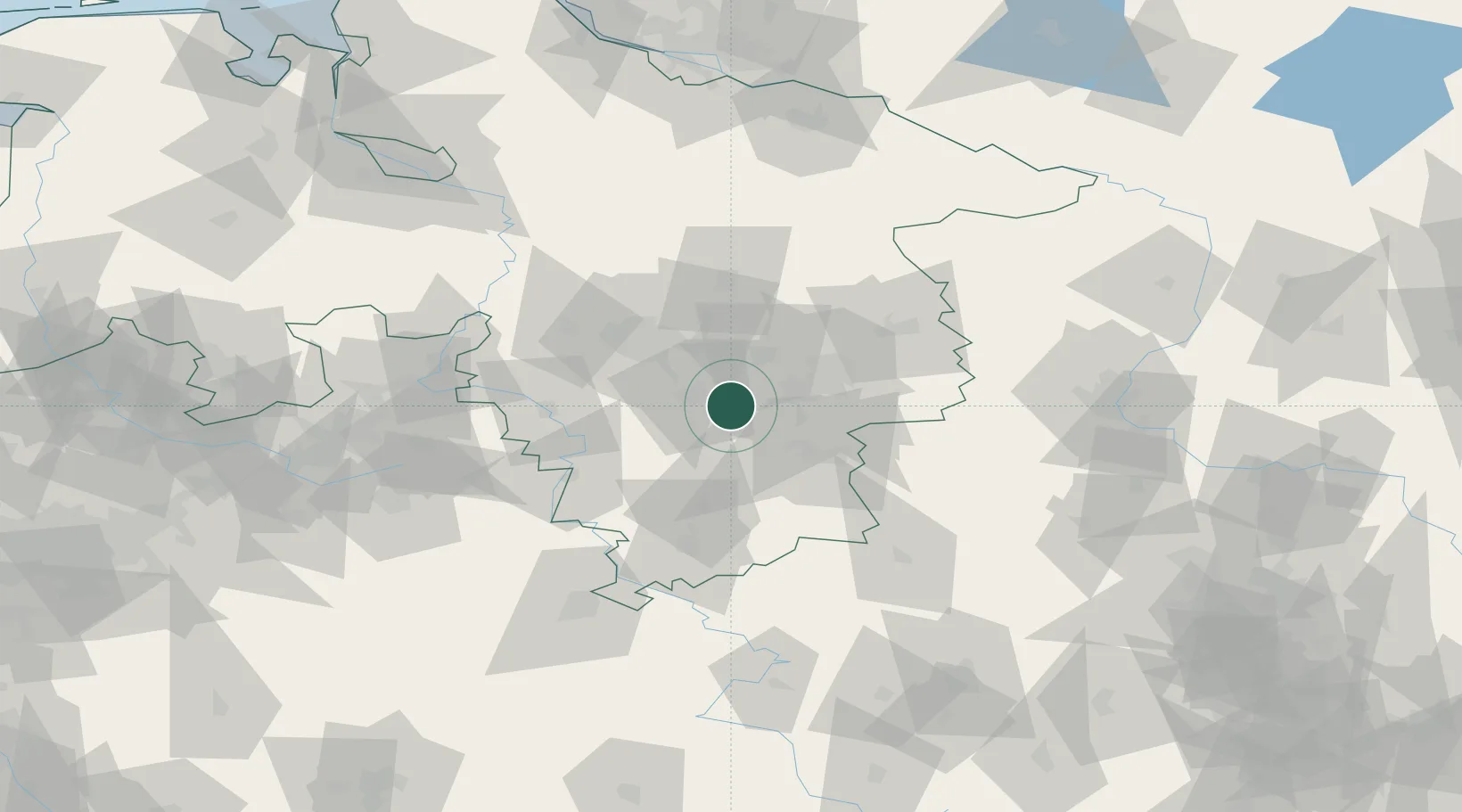
Location
Nearby Logistics Neighbours
Cities
- 1Hildesheim10 km
- 2Baddeckenstedt10 km
- 3Bad Salzdetfurth10 km
- 4Bockenem11 km
- 5Harsum14 km
Airports
- 1Braunschweig-Wolfsburg Airport38 km
- 2Hannover Airport48 km
- 3Celle Army Airfield53 km
- 4Wunstorf Air Base59 km
- 5Bückeburg Air Base72 km
Trade Zones
DatabookThe Record of Consolidated Knowledge
Germany beyond logistics?