Transport Functions
Port
Rail
Road
Hub Profile
Region
SH
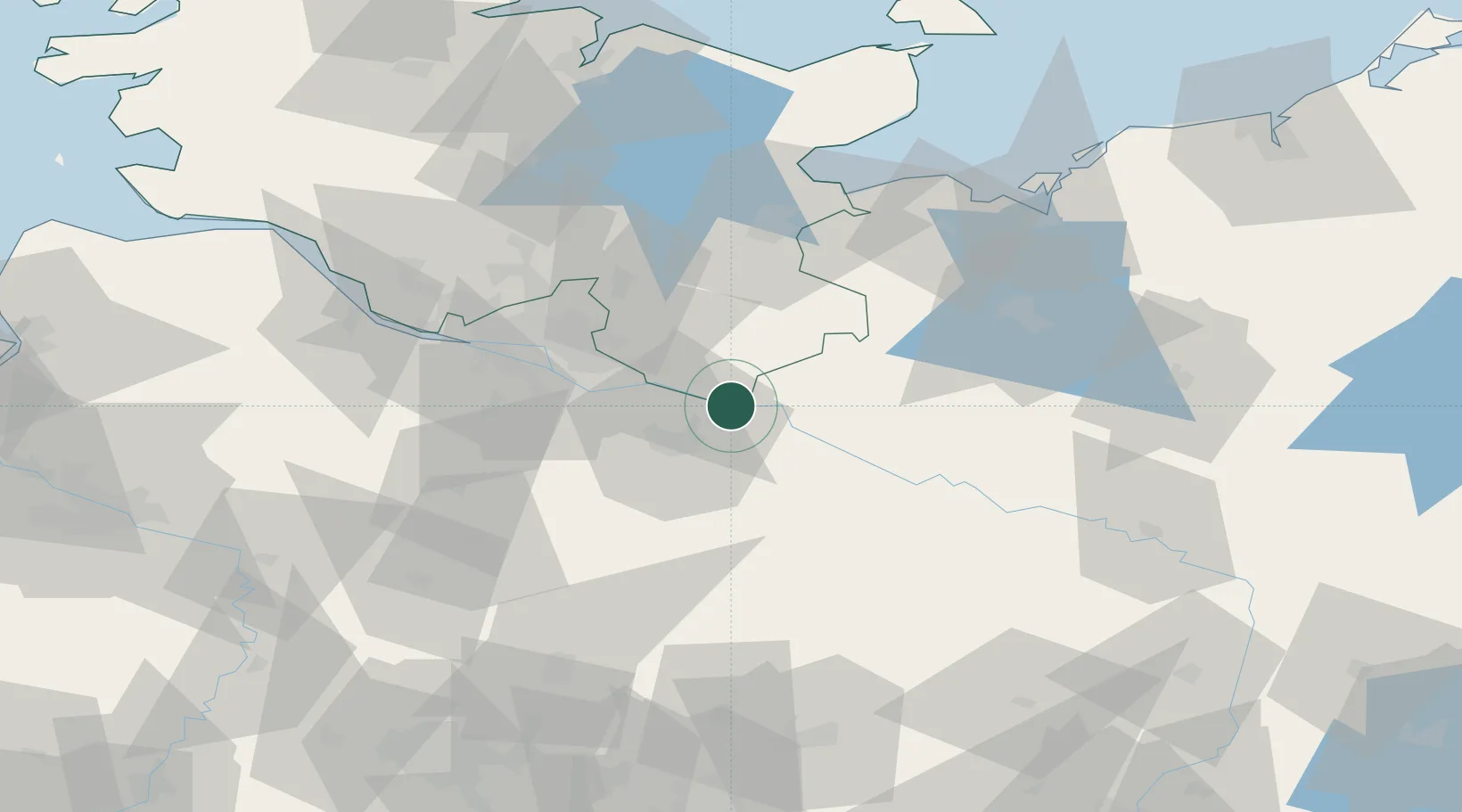
Location
Nearby Logistics Neighbours
Cities
- 1Echem4 km
- 2Scharnebeck8 km
- 3Rullstorf10 km
- 4Boizenburg10 km
- 5Schwanheide11 km
Ports
- 1Hamburg47 km
- 2Lubeck58 km
- 3Lubeck-Travemunde70 km
- 4Butzfleth76 km
- 5Neustadt83 km
Airports
Trade Zones
DatabookThe Record of Consolidated Knowledge
Germany beyond logistics?