UN/LOCODE hub · Germany
DEBCE

Büchen

53.4833°, 10.6500°
5,442
Population
3
Transport functions

Transport Functions

Rail
Road
Multimodal
UN/LOCODE

Hub Profile

Place type
Local administrative seat
GeoNames
Region
Schleswig-Holstein
GeoNames
Population
5,442
GeoNames
Time zone
Europe/Berlin
GeoNames
Elevation
17 m
GeoNames

Location

Location of DEBCE
Natural Earth 10m (public domain) · Schleswig-Holstein · DEBCE · 53.48, 10.65GoogleOSMYandex

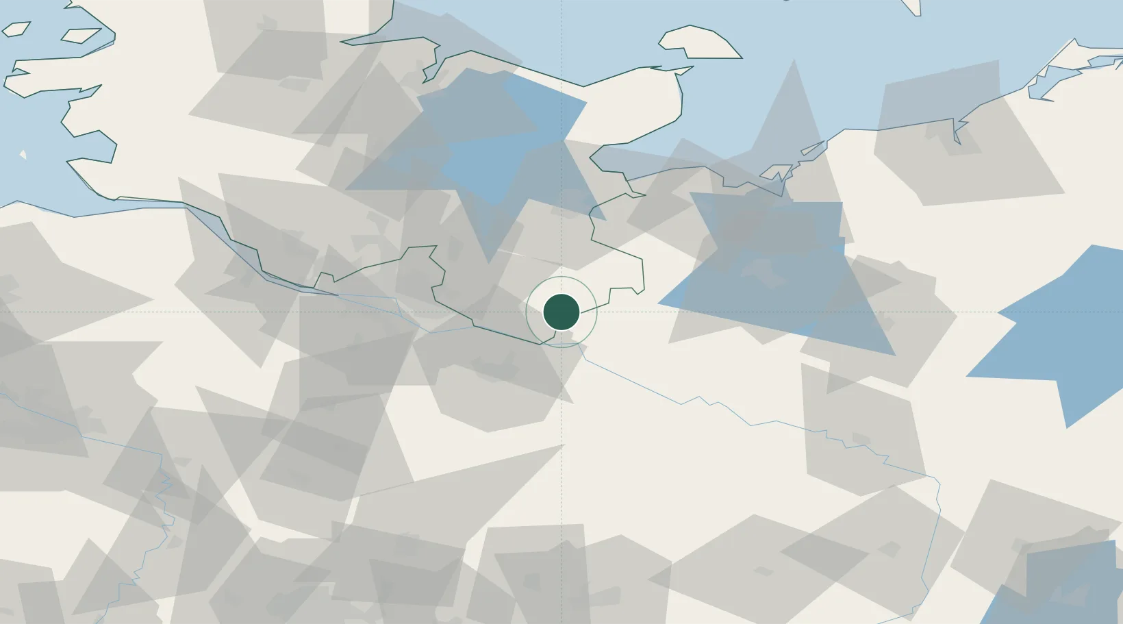
Nearby Logistics Neighbours

Cities
  1. 1Schwanheide6 km
  2. 2Schwarzenbeck11 km
  3. 3Schwarzenbek11 km
  4. 4Boizenburg12 km
  5. 5Lauenburg/Elbe14 km
Nearest neighbours — logibook spatial index (haversine) over the source coordinates
Ports
  1. 1Lubeck45 km
  2. 2Hamburg48 km
  3. 3Lubeck-Travemunde56 km
  4. 4Neustadt69 km
  5. 5Wismar71 km
Nearest neighbours — logibook spatial index (haversine) over the source coordinates
Airports
  1. 1Lübeck Blankensee Airport36 km
  2. 2Hamburg Helmut Schmidt Airport47 km
  3. 3Hamburg-Finkenwerder Airport54 km
  4. 4Uetersen-Heist Airfield65 km
  5. 5Faßberg Air Base70 km
Nearest neighbours — logibook spatial index (haversine) over the source coordinates
Trade Zones
  1. 1Freeport of Kiel100 km
  2. 2Freeport of Bremerhaven (Freihafen Bremerhaven)132 km
  3. 3Freeport of Cuxhaven (Freihafen Cuxhaven)142 km
  4. 4Freeport of Emden230 km
  5. 5Swinoujscie Duty Free Zone243 km
Nearest neighbours — logibook spatial index (haversine) over the source coordinates
DatabookThe Record of Consolidated Knowledge
Germany beyond logistics?
Browse databook

All Sources

LocationsUN/LOCODE
UN/LOCODE — free
LocationsGeoNames
CC BY 4.0
Portsthe NGA World Port Index
Public domain (US gov)
AirportsOurAirports
Public domain
Trade Zonesthe World Bank SEZ database
CC BY 4.0
Trade ZonesOpen Zone Map
CC BY
← Germany locations