Transport Functions
Multimodal
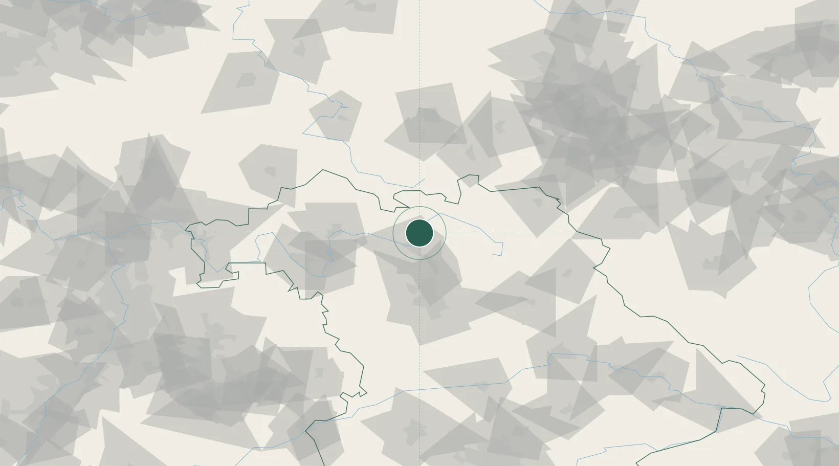
Hub Profile
Place type
Populated place
Region
Bavaria
Population
5,017
Time zone
Europe/Berlin
Elevation
249 m
Location
Nearby Logistics Neighbours
Cities
- 1Itzgrund10 km
- 2Breitenguessbach10 km
- 3Kösten14 km
- 4Bamberg14 km
- 5Grossheirath15 km
Airports
- 1Bamberg-Breitenau Airfield13 km
- 2Bayreuth Airport51 km
- 3Nuremberg Airport60 km
- 4Hof-Plauen Airport71 km
- 5Grafenwöhr Army Air Field81 km
Trade Zones
- 1Podbořany Industrial Zone177 km
- 2Žatec - Triangle Strategic Industrial Zone189 km
- 3Freeport of Deggendorf194 km
- 4Most - Joseph Industrial Zone199 km
- 5ZFU Neuhof284 km
DatabookThe Record of Consolidated Knowledge
Germany beyond logistics?