Transport Functions
Port
Road
Airport
Hub Profile
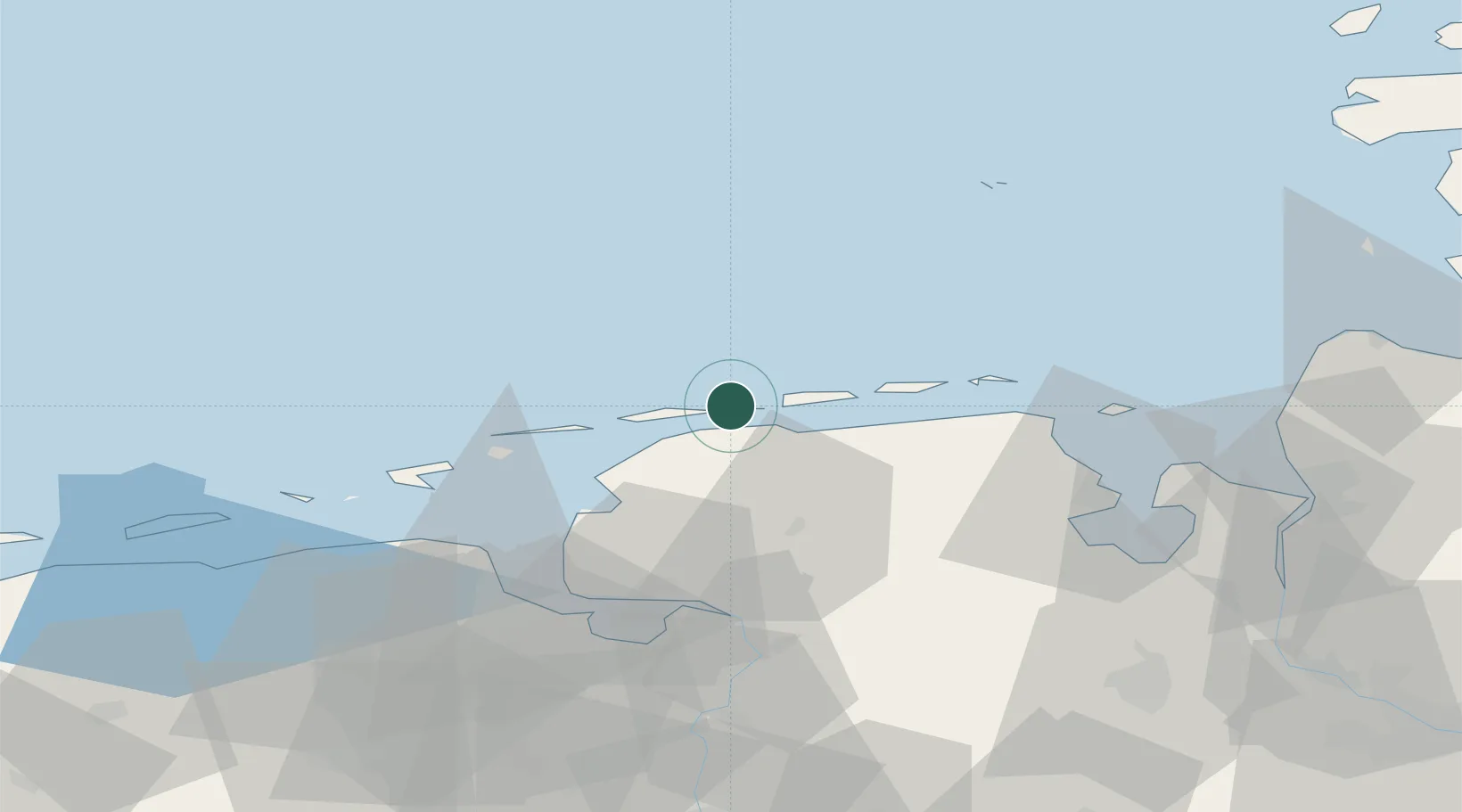
Place type
Local administrative seat
Region
Lower Saxony
Population
465
Time zone
Europe/Berlin
Elevation
5 m
Location
Nearby Logistics Neighbours
Cities
- 1Nessmersiel8 km
- 2Langeoog8 km
- 3Westeraccumersiel11 km
- 4Bensersiel15 km
- 5Norddeich19 km
Ports
- 1Emden46 km
- 2Eemshaven47 km
- 3Delfzijl53 km
- 4Leer56 km
- 5Wilhelmshaven57 km
Airports
- 1Baltrum Airport1 km
- 2Norderney Airport10 km
- 3Norden-Norddeich Airport16 km
- 4Juist Airport21 km
- 5Wittmundhafen Air Base29 km
Trade Zones
DatabookThe Record of Consolidated Knowledge
Germany beyond logistics?