Transport Functions
Port
Rail
Road
Airport
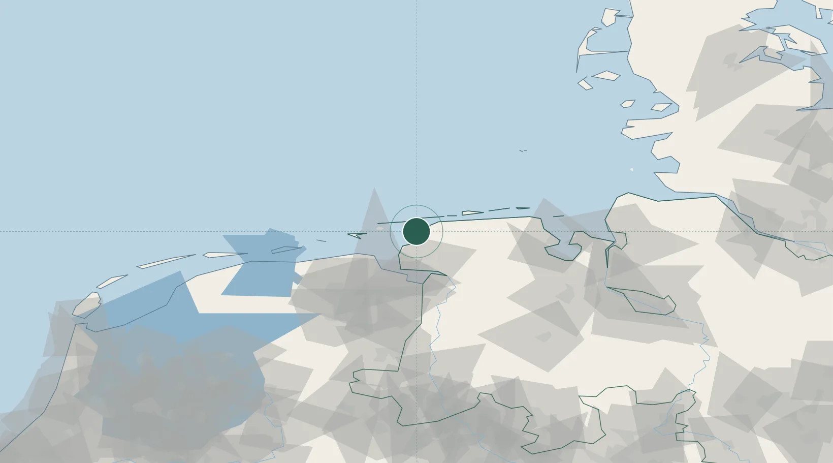
Hub Profile
Place type
Populated place
Region
Lower Saxony
Population
1,759
Time zone
Europe/Berlin
Elevation
1 m
Location
Nearby Logistics Neighbours
Cities
- 1Juist12 km
- 2Greetsiel13 km
- 3Nessmersiel14 km
- 4Memmert17 km
- 5Baltrum19 km
Airports
- 1Norden-Norddeich Airport3 km
- 2Juist Airport10 km
- 3Norderney Airport11 km
- 4Baltrum Airport19 km
- 5Emden Airport26 km
Trade Zones
DatabookThe Record of Consolidated Knowledge
Germany beyond logistics?