Transport Functions
Port
Road
Hub Profile
Place type
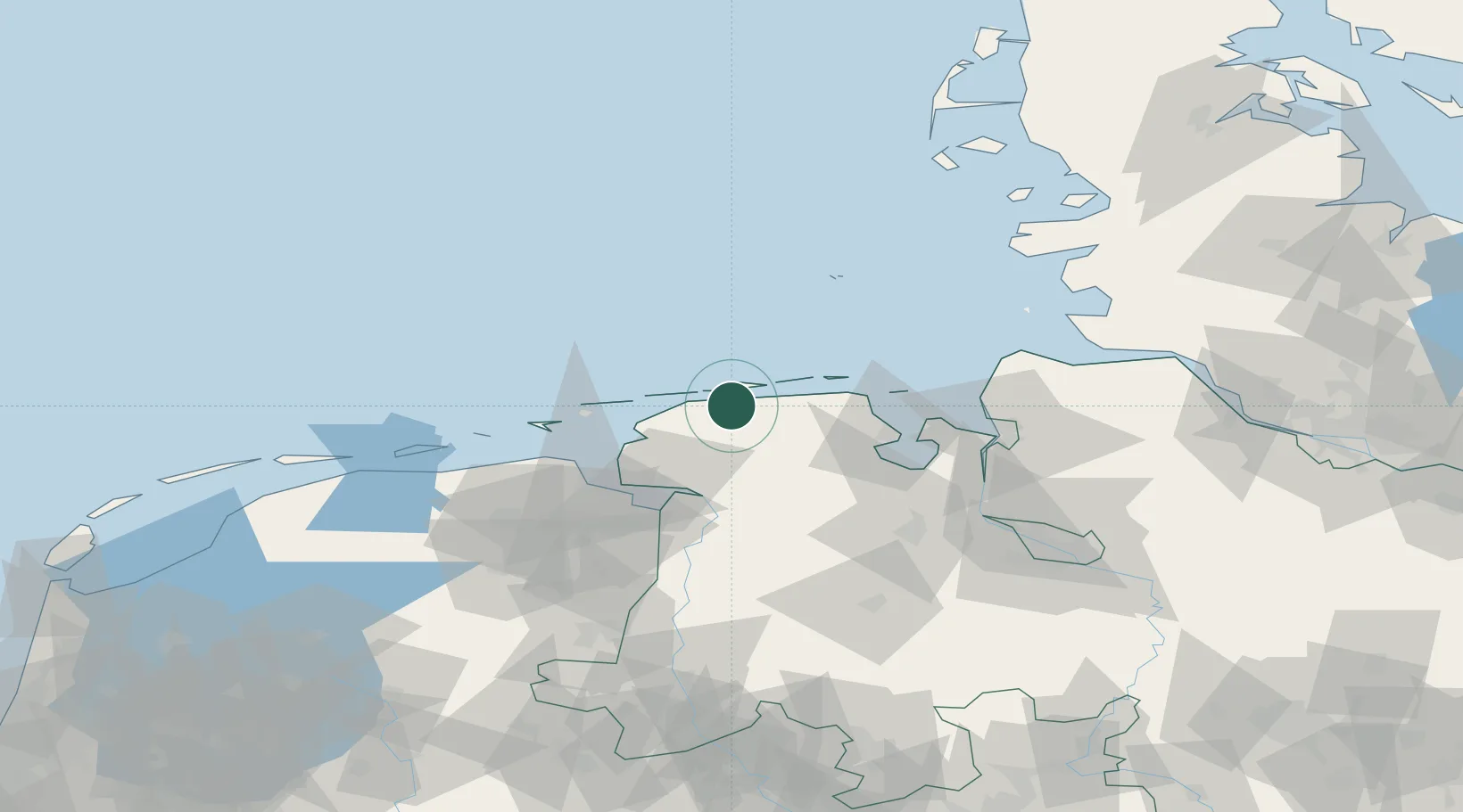
Populated place
Region
Lower Saxony
Time zone
Europe/Berlin
Elevation
3 m
Location
Nearby Logistics Neighbours
Cities
- 1Bensersiel7 km
- 2Nessmersiel9 km
- 3Langeoog9 km
- 4Baltrum11 km
- 5Neuharlingersiel15 km
Ports
- 1Emden42 km
- 2Wilhelmshaven48 km
- 3Leer48 km
- 4Eemshaven49 km
- 5Delfzijl52 km
Airports
- 1Baltrum Airport10 km
- 2Norderney Airport17 km
- 3Wittmundhafen Air Base18 km
- 4Norden-Norddeich Airport20 km
- 5Harlesiel Airfield23 km
Trade Zones
DatabookThe Record of Consolidated Knowledge
Germany beyond logistics?