UN/LOCODE hub · Germany
DELGO

Langeoog

53.7500°, 7.4833°
1,990
Population
3
Transport functions

Transport Functions

Port
Road
Airport
UN/LOCODE

Hub Profile

Place type
Local administrative seat
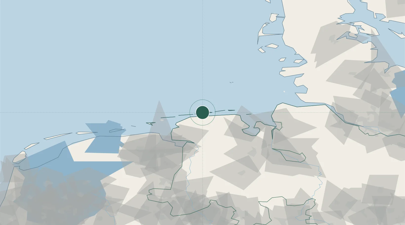
GeoNames
Region
Lower Saxony
GeoNames
Population
1,990
GeoNames
Time zone
Europe/Berlin
GeoNames
Elevation
9 m
GeoNames

Location

Location of DELGO
Natural Earth 10m (public domain) · Lower Saxony · DELGO · 53.75, 7.48GoogleOSMYandex

Nearby Logistics Neighbours

Cities
  1. 1Baltrum8 km
  2. 2Westeraccumersiel9 km
  3. 3Bensersiel10 km
  4. 4Nessmersiel13 km
  5. 5Spiekeroog14 km
Nearest neighbours — logibook spatial index (haversine) over the source coordinates
Ports
  1. 1Emden50 km
  2. 2Wilhelmshaven51 km
  3. 3Helgoland54 km
  4. 4Eemshaven54 km
  5. 5Leer58 km
Nearest neighbours — logibook spatial index (haversine) over the source coordinates
Airports
  1. 1Baltrum Airport8 km
  2. 2Norderney Airport17 km
  3. 3Harlesiel Airfield23 km
  4. 4Norden-Norddeich Airport23 km
  5. 5Wittmundhafen Air Base26 km
Nearest neighbours — logibook spatial index (haversine) over the source coordinates
Trade Zones
  1. 1Freeport of Emden50 km
  2. 2Freeport of Cuxhaven (Freihafen Cuxhaven)72 km
  3. 3Freeport of Bremerhaven (Freihafen Bremerhaven)113 km
  4. 4Freeport of Kiel187 km
  5. 5Freeport of Duisburg263 km
Nearest neighbours — logibook spatial index (haversine) over the source coordinates
DatabookThe Record of Consolidated Knowledge
Germany beyond logistics?
Browse databook

All Sources

LocationsUN/LOCODE
UN/LOCODE — free
LocationsGeoNames
CC BY 4.0
Portsthe NGA World Port Index
Public domain (US gov)
AirportsOurAirports
Public domain
Trade Zonesthe World Bank SEZ database
CC BY 4.0
Trade ZonesOpen Zone Map
CC BY
← Germany locations