Transport Functions
Port
Road
Hub Profile
Place type
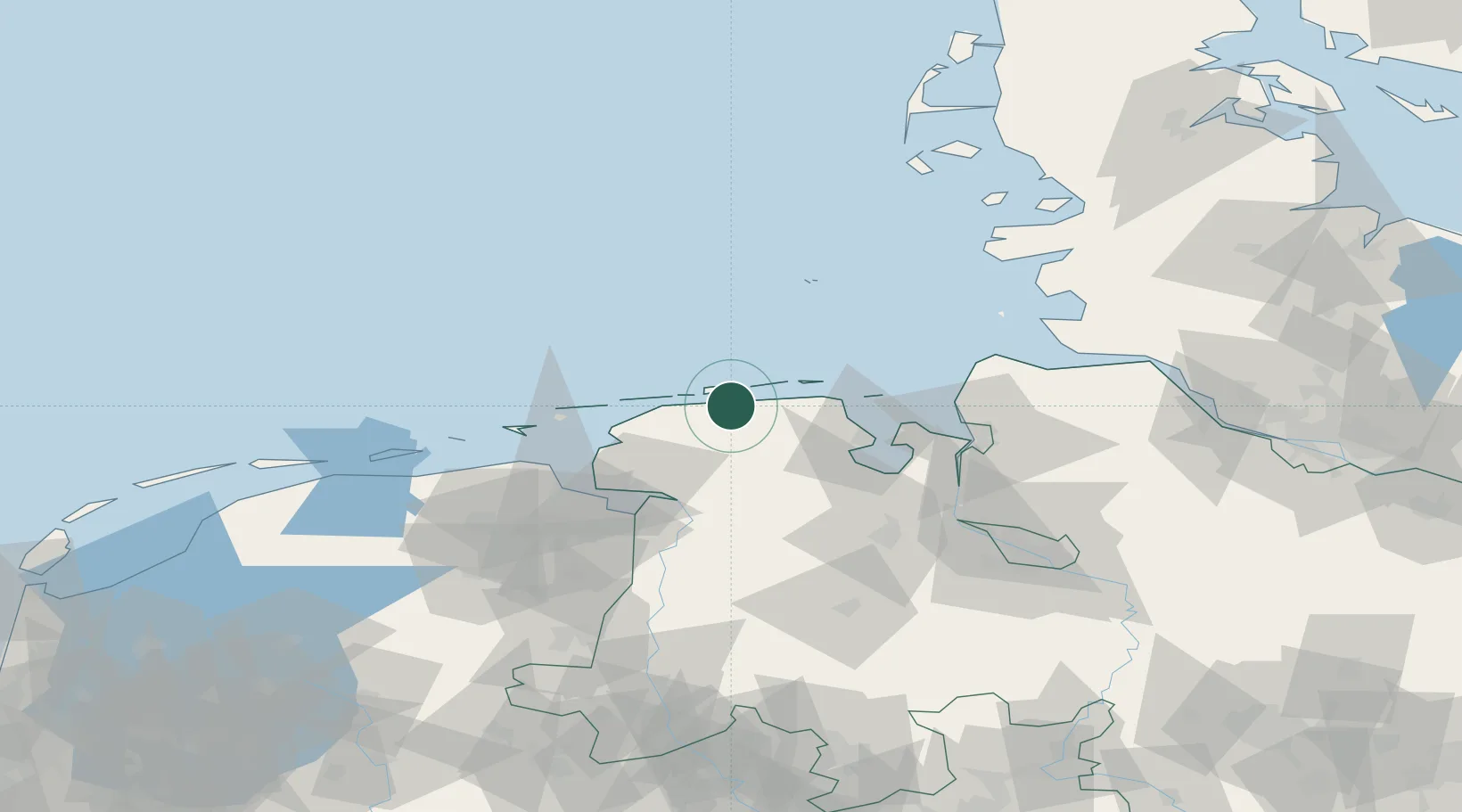
Populated place
Region
Lower Saxony
Population
1,000
Time zone
Europe/Berlin
Elevation
1 m
Location
Nearby Logistics Neighbours
Cities
- 1Westeraccumersiel7 km
- 2Neuharlingersiel8 km
- 3Langeoog10 km
- 4Spiekeroog12 km
- 5Carolinensiel14 km
Ports
- 1Wilhelmshaven42 km
- 2Emden47 km
- 3Leer51 km
- 4Eemshaven56 km
- 5Delfzijl58 km
Airports
- 1Baltrum Airport15 km
- 2Harlesiel Airfield16 km
- 3Wittmundhafen Air Base16 km
- 4Norderney Airport23 km
- 5Wangerooge Airport25 km
Trade Zones
DatabookThe Record of Consolidated Knowledge
Germany beyond logistics?