Transport Functions
Rail
Road
Hub Profile
Place type
Populated place
Region
Brandenburg
Time zone
Europe/Berlin
Elevation
58 m
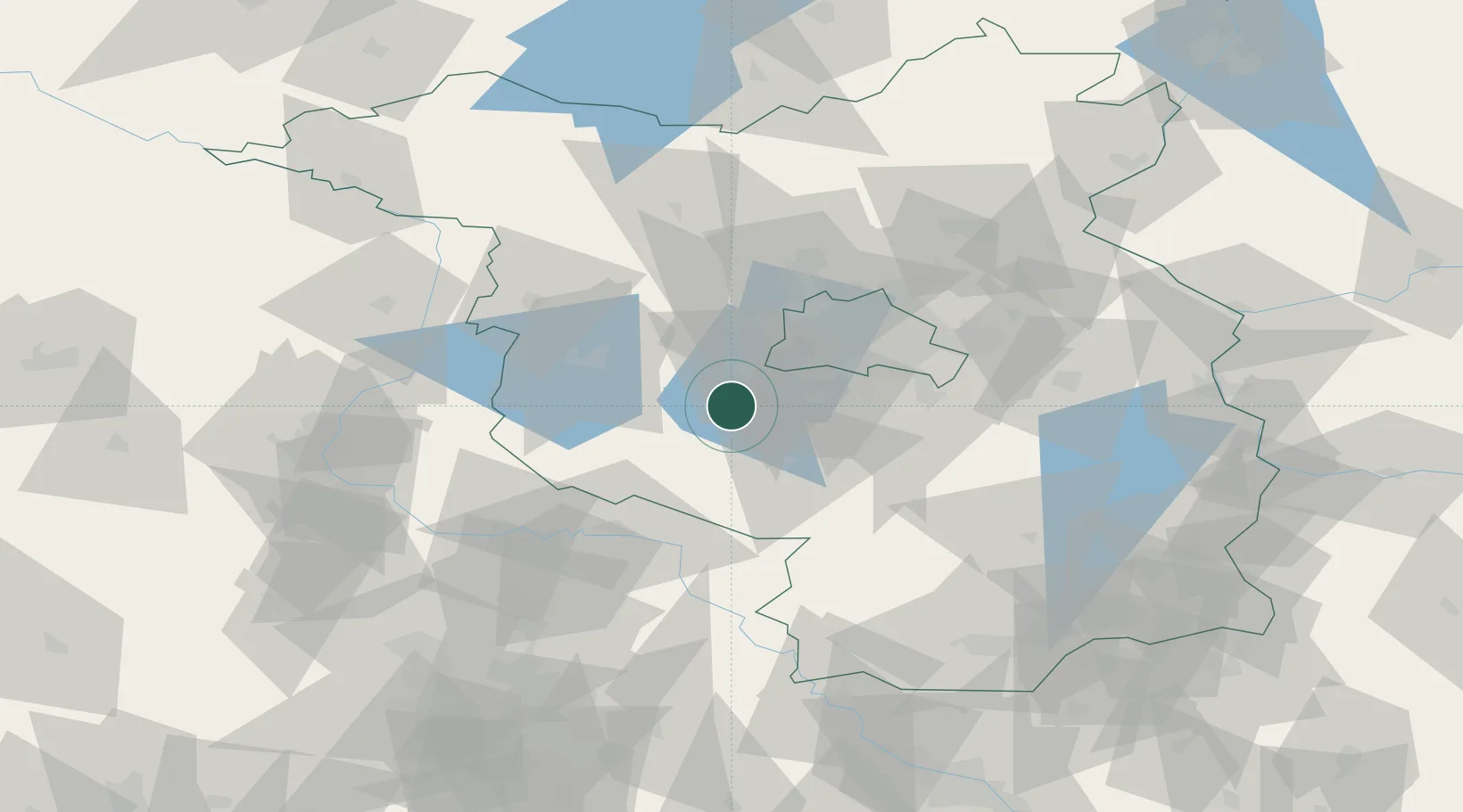
Location
Nearby Logistics Neighbours
Cities
- 1Ferch4 km
- 2Schwielowsee6 km
- 3Beelitz6 km
- 4Michendorf6 km
- 5Werder11 km
Ports
- 1Szczecin164 km
- 2Police178 km
- 3Swinoujscie201 km
- 4Wolgast204 km
- 5Wismar206 km
Airports
- 1Berlin Brandenburg Airport36 km
- 2Holzdorf Air Base59 km
- 3Zerbst Airfield65 km
- 4Leipzig/Halle Airport109 km
- 5Dresden Airport139 km
Trade Zones
- 1Kostrzyń-Słubice SEZ118 km
- 2Szczecin Duty Free Zone166 km
- 3Swinoujscie Duty Free Zone199 km
- 4Most - Joseph Industrial Zone205 km
- 5Žatec - Triangle Strategic Industrial Zone213 km
DatabookThe Record of Consolidated Knowledge
Germany beyond logistics?