Transport Functions
Port
Road
Hub Profile
Place type
Populated place
Region
Brandenburg
Time zone
Europe/Berlin
Elevation
41 m
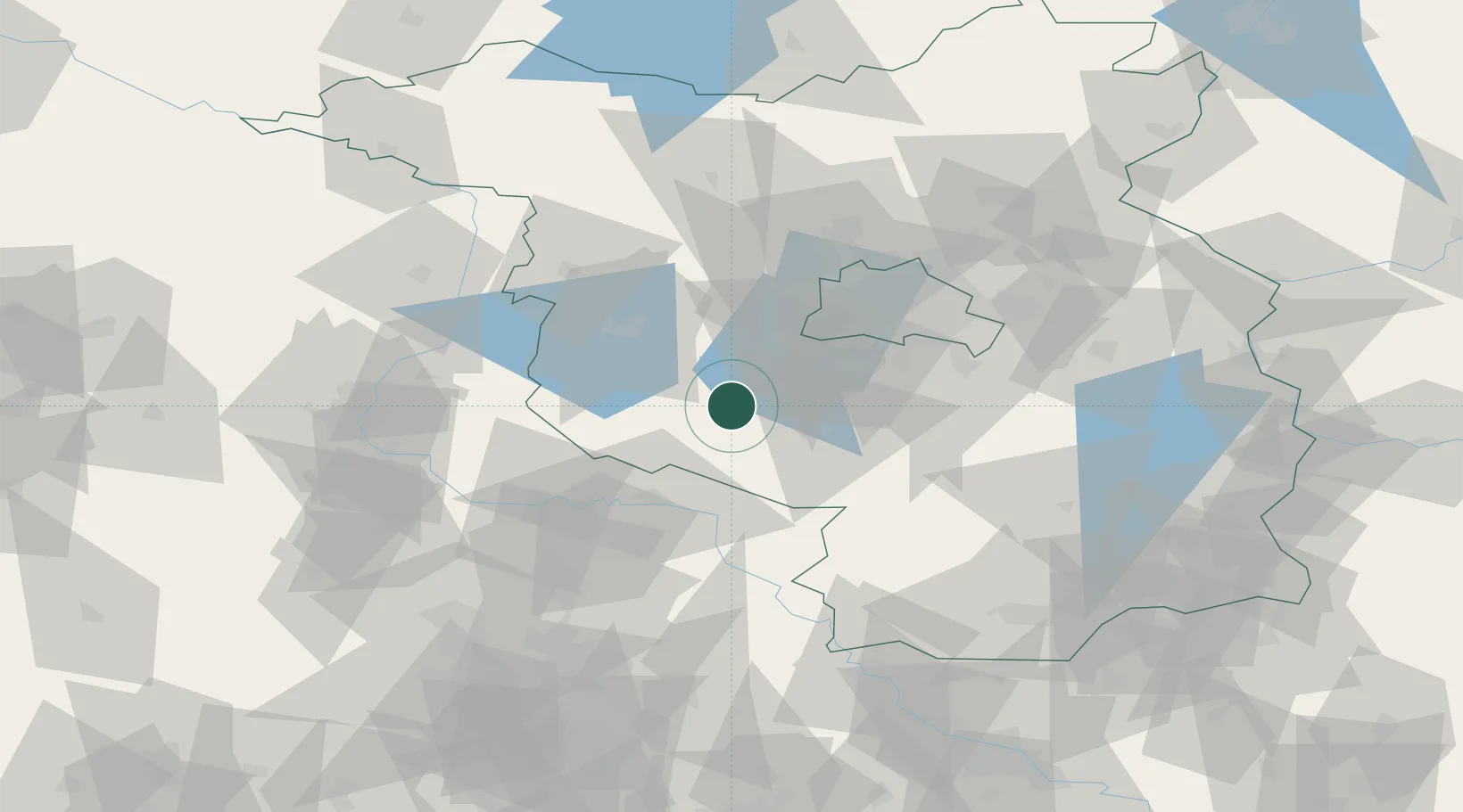
Location
Nearby Logistics Neighbours
Ports
- 1Szczecin178 km
- 2Police192 km
- 3Wismar213 km
- 4Swinoujscie214 km
- 5Wolgast216 km
Airports
- 1Berlin Brandenburg Airport48 km
- 2Holzdorf Air Base51 km
- 3Zerbst Airfield53 km
- 4Leipzig/Halle Airport95 km
- 5Dresden Airport132 km
Trade Zones
- 1Kostrzyń-Słubice SEZ129 km
- 2Szczecin Duty Free Zone179 km
- 3Most - Joseph Industrial Zone196 km
- 4Žatec - Triangle Strategic Industrial Zone204 km
- 5Swinoujscie Duty Free Zone213 km
DatabookThe Record of Consolidated Knowledge
Germany beyond logistics?