Transport Functions
Port
Road
Hub Profile
Place type
Populated place
Region
Lower Saxony
Time zone
Europe/Berlin
Elevation
1 m
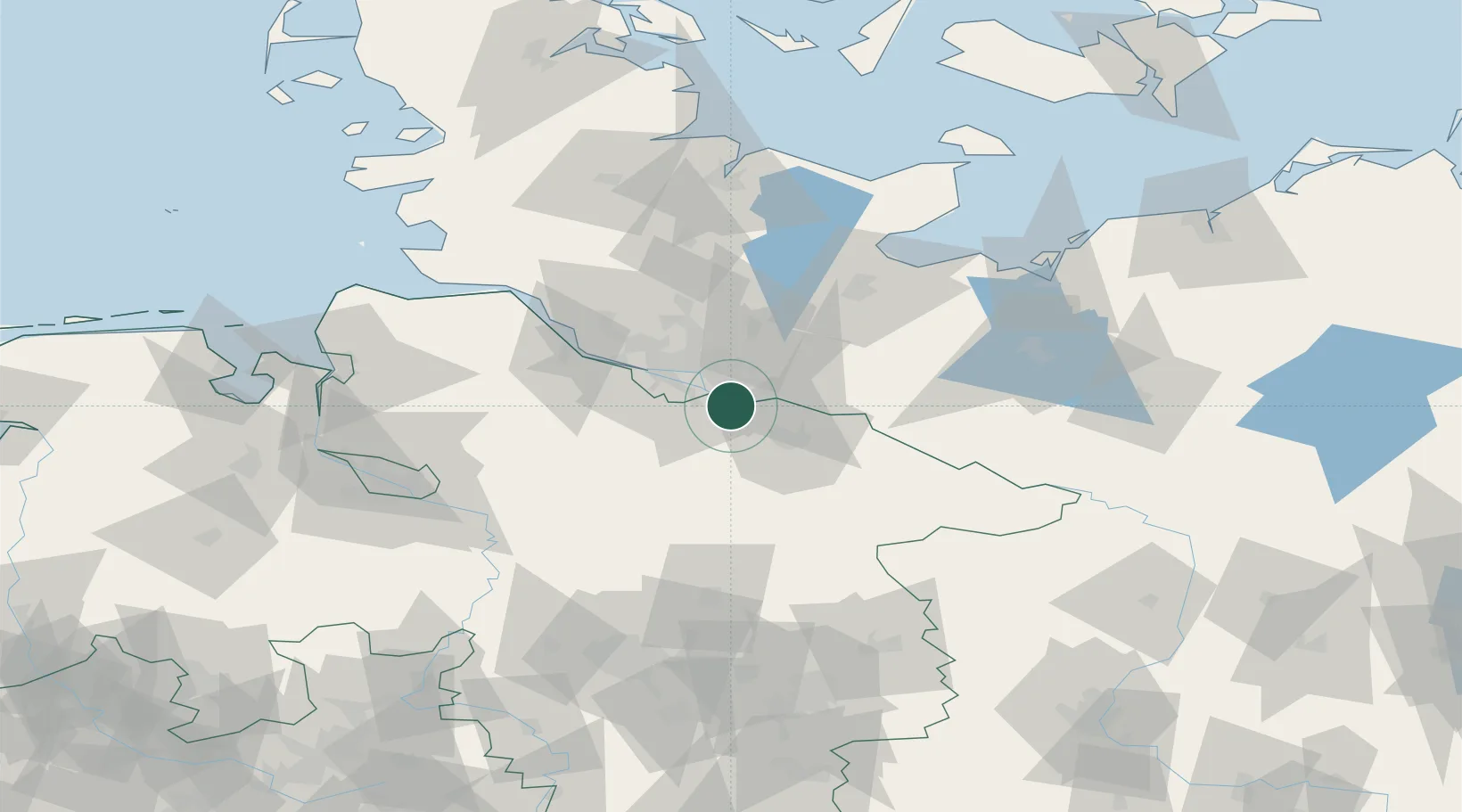
Location
Nearby Logistics Neighbours
Cities
- 1Stelle4 km
- 2Oortkaten6 km
- 3Drage7 km
- 4Bullenhausen8 km
- 5Winsen/Luhe8 km
Ports
- 1Hamburg23 km
- 2Butzfleth51 km
- 3Lubeck64 km
- 4Gluckstadt65 km
- 5Itzehoe72 km
Airports
Trade Zones
DatabookThe Record of Consolidated Knowledge
Germany beyond logistics?