Transport Functions
Rail
Road
Hub Profile
Place type
District seat
Region
Lower Saxony
Population
16,783
Time zone
Europe/Berlin
Elevation
40 m
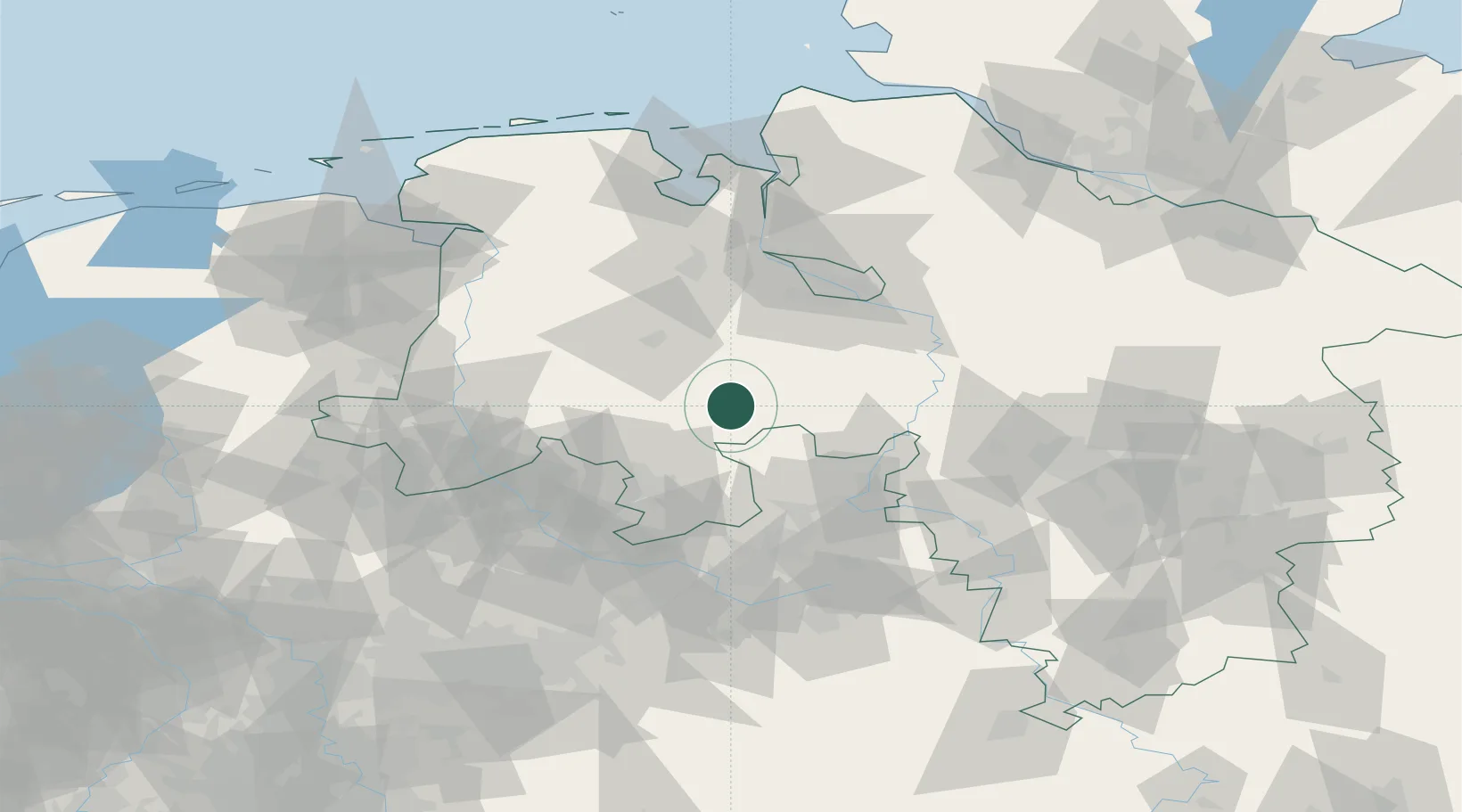
Location
Nearby Logistics Neighbours
Cities
- 1Drebber7 km
- 2Lembruch8 km
- 3Lohne bei Vechta12 km
- 4Barnstorf16 km
- 5Hunteburg19 km
Airports
- 1Diepholz Air Base2 km
- 2Bremen Airport57 km
- 3Bückeburg Air Base60 km
- 4Münster Osnabrück Airport69 km
- 5Bielefeld Airport72 km
Trade Zones
DatabookThe Record of Consolidated Knowledge
Germany beyond logistics?