Transport Functions
Rail
Road
Hub Profile
Place type
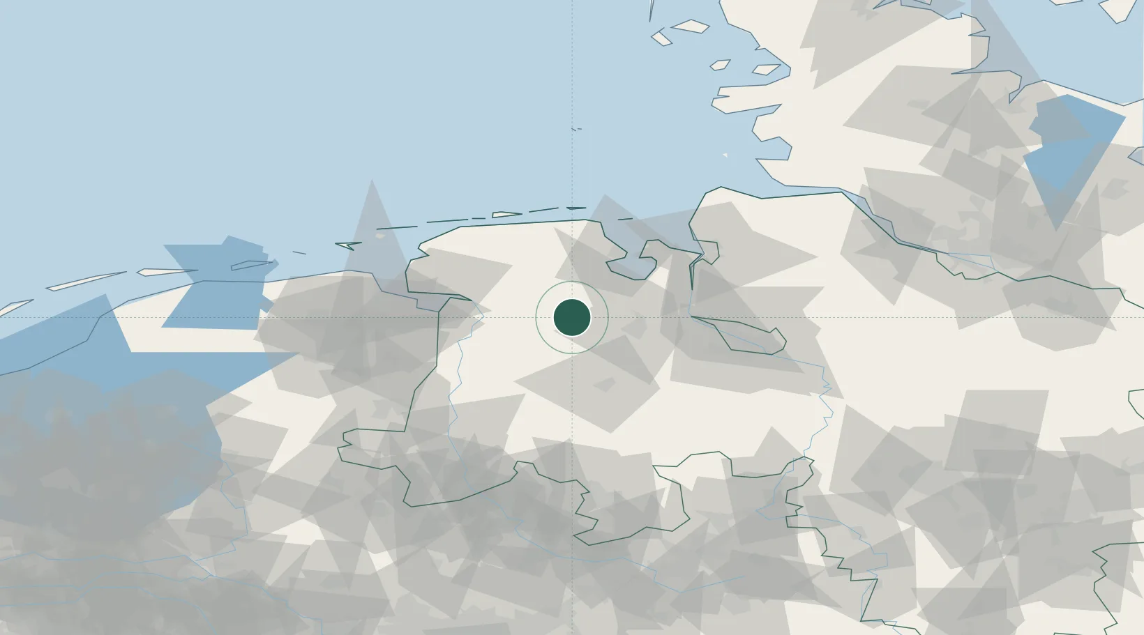
Populated place
Region
Lower Saxony
Time zone
Europe/Berlin
Elevation
3 m
Location
Nearby Logistics Neighbours
Cities
- 1Apen6 km
- 2Augustfehn8 km
- 3Landkreis Ammerland9 km
- 4Edewechterdamm15 km
- 5Sedelsberg21 km
Ports
- 1Oldenburg25 km
- 2Leer29 km
- 3Papenburg36 km
- 4Elsfleth39 km
- 5Wilhelmshaven40 km
Airports
- 1Wittmundhafen Air Base40 km
- 2Emden Airport48 km
- 3Harlesiel Airfield55 km
- 4Wangerooge Airport63 km
- 5Bremen Airport63 km
Trade Zones
DatabookThe Record of Consolidated Knowledge
Germany beyond logistics?