UN/LOCODE hub · Germany
DEAAD

Landkreis Ammerland

53.2167°, 8.0167°
2
Transport functions

Transport Functions

Port
Multimodal
UN/LOCODE

Hub Profile

Region
NI
GeoNames

Location

Location of DEAAD
Natural Earth 10m (public domain) · NI · DEAAD · 53.22, 8.02GoogleOSMYandex

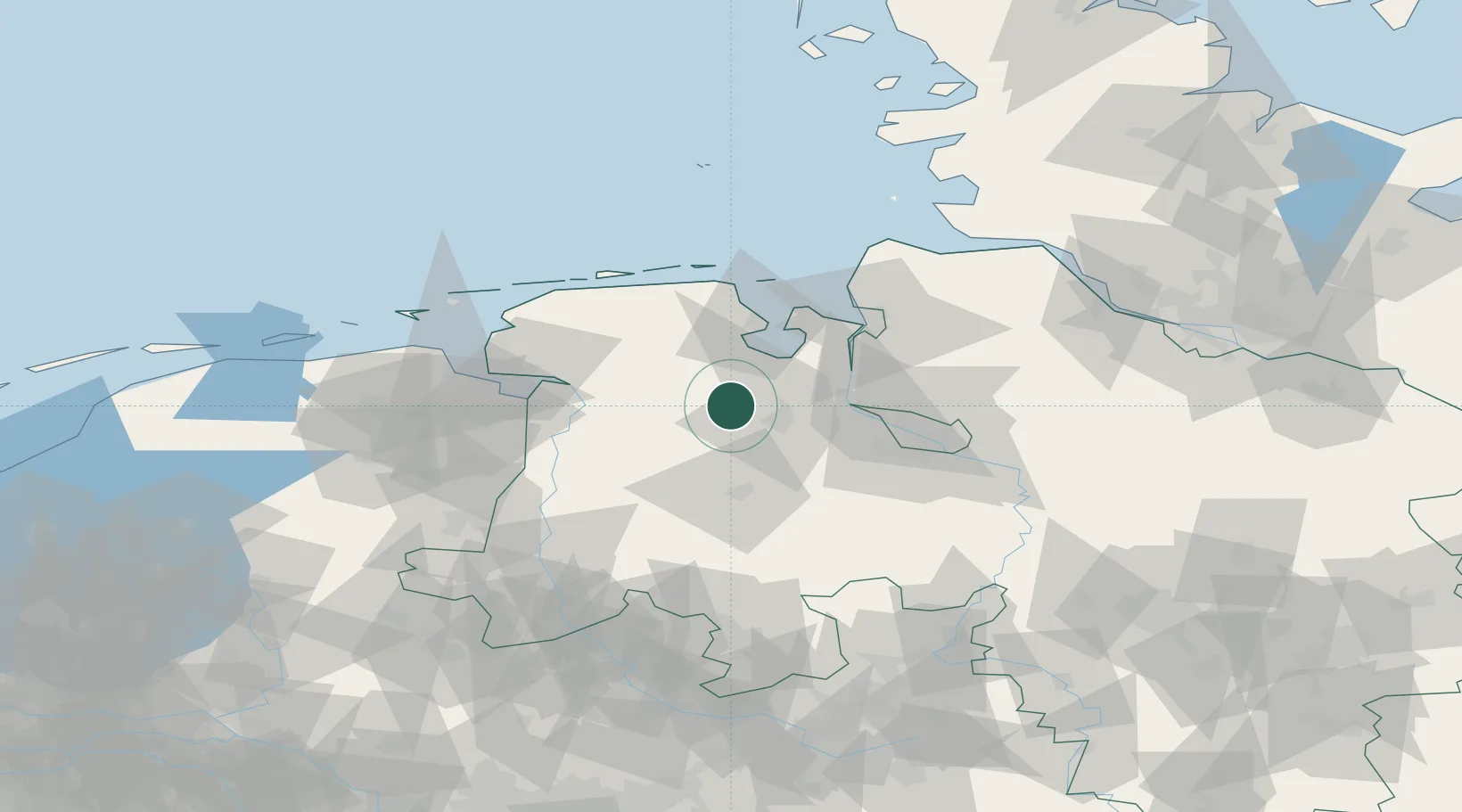
Nearby Logistics Neighbours

Cities
  1. 1Lindern9 km
  2. 2Rastede13 km
  3. 3Oldenburg13 km
  4. 4Apen14 km
  5. 5Edewechterdamm16 km
Nearest neighbours — logibook spatial index (haversine) over the source coordinates
Ports
  1. 1Oldenburg17 km
  2. 2Elsfleth30 km
  3. 3Brake34 km
  4. 4Wilhelmshaven37 km
  5. 5Leer38 km
Nearest neighbours — logibook spatial index (haversine) over the source coordinates
Airports
  1. 1Wittmundhafen Air Base44 km
  2. 2Bremen Airport55 km
  3. 3Emden Airport56 km
  4. 4Harlesiel Airfield56 km
  5. 5Wangerooge Airport63 km
Nearest neighbours — logibook spatial index (haversine) over the source coordinates
Trade Zones
  1. 1Freeport of Bremerhaven (Freihafen Bremerhaven)52 km
  2. 2Freeport of Emden57 km
  3. 3Freeport of Cuxhaven (Freihafen Cuxhaven)77 km
  4. 4Freeport of Kiel189 km
  5. 5Freeport of Duisburg220 km
Nearest neighbours — logibook spatial index (haversine) over the source coordinates
DatabookThe Record of Consolidated Knowledge
Germany beyond logistics?
Browse databook

All Sources

LocationsUN/LOCODE
UN/LOCODE — free
Portsthe NGA World Port Index
Public domain (US gov)
AirportsOurAirports
Public domain
Trade Zonesthe World Bank SEZ database
CC BY 4.0
Trade ZonesOpen Zone Map
CC BY
← Germany locations