Transport Functions
Rail
Road
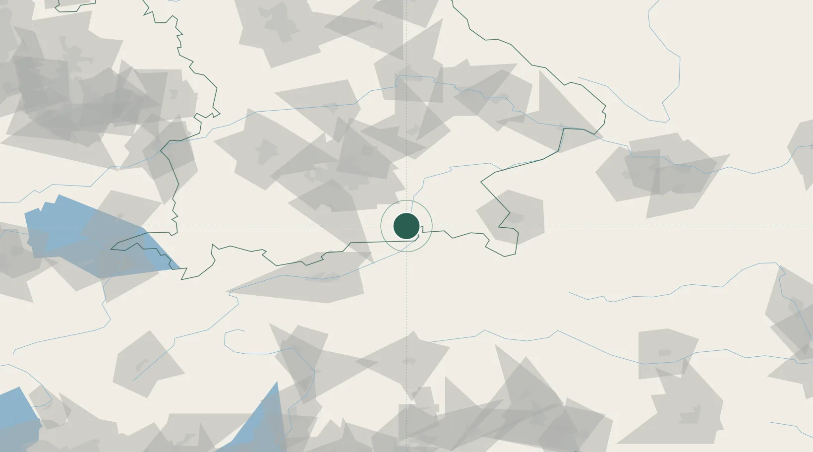
Hub Profile
Place type
Local administrative seat
Region
Bavaria
Population
5,646
Time zone
Europe/Berlin
Elevation
507 m
Location
Nearby Logistics Neighbours
Cities
- 1Erl9 km
- 2Aurach13 km
- 3Stephanskirchen14 km
- 4Irschenberg18 km
- 5Heufeld18 km
Ports
- 1Nogaro234 km
- 2Monfalcone243 km
- 3Grado244 km
- 4Porto Di Lido-Venezia259 km
- 5Trieste263 km
Airports
- 1Salzburg Airport68 km
- 2Oberpfaffenhofen Airport72 km
- 3Munich Airport73 km
- 4Innsbruck Airport77 km
- 5Landshut Airfield87 km
Trade Zones
- 1Freeport of Deggendorf137 km
- 2Livigno Free Trade Zone202 km
- 3Free Port of Venice257 km
- 4Consorzio Zona Industriale e Porto Fluviale di Padova261 km
- 5Free Port of Trieste264 km
DatabookThe Record of Consolidated Knowledge
Germany beyond logistics?