Transport Functions
Port
Road
Multimodal
Hub Profile
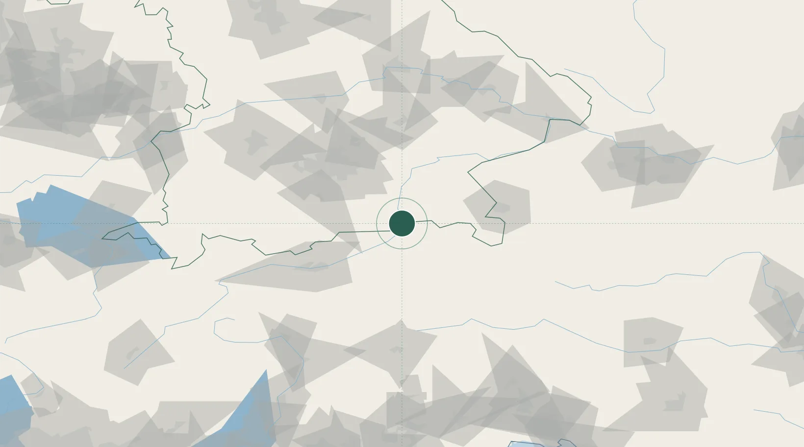
Place type
District seat
Region
Tyrol
Population
528
Time zone
Europe/Vienna
Elevation
473 m
Location
Nearby Logistics Neighbours
Cities
- 1Brannenburg9 km
- 2Kirchbichl18 km
- 3Aurach18 km
- 4Stephanskirchen20 km
- 5Prien/Chiemsee26 km
Ports
- 1Nogaro225 km
- 2Monfalcone235 km
- 3Grado235 km
- 4Porto Di Lido-Venezia251 km
- 5Trieste255 km
Airports
- 1Salzburg Airport64 km
- 2Innsbruck Airport77 km
- 3Oberpfaffenhofen Airport80 km
- 4Munich Airport82 km
- 5Landshut Airfield95 km
Trade Zones
- 1Freeport of Deggendorf142 km
- 2Livigno Free Trade Zone201 km
- 3Free Port of Venice249 km
- 4Consorzio Zona Industriale e Porto Fluviale di Padova254 km
- 5Free Port of Trieste255 km
DatabookThe Record of Consolidated Knowledge
Austria beyond logistics?