UN/LOCODE hub · Germany
DELIL

Lilienthal

53.1333°, 8.9167°
18,293
Population
1
Transport functions

Transport Functions

Multimodal
UN/LOCODE

Hub Profile

Place type
Local administrative seat
GeoNames
Region
Lower Saxony
GeoNames
Population
18,293
GeoNames
Time zone
Europe/Berlin
GeoNames
Elevation
3 m
GeoNames

Location

Location of DELIL
Natural Earth 10m (public domain) · Lower Saxony · DELIL · 53.13, 8.92GoogleOSMYandex

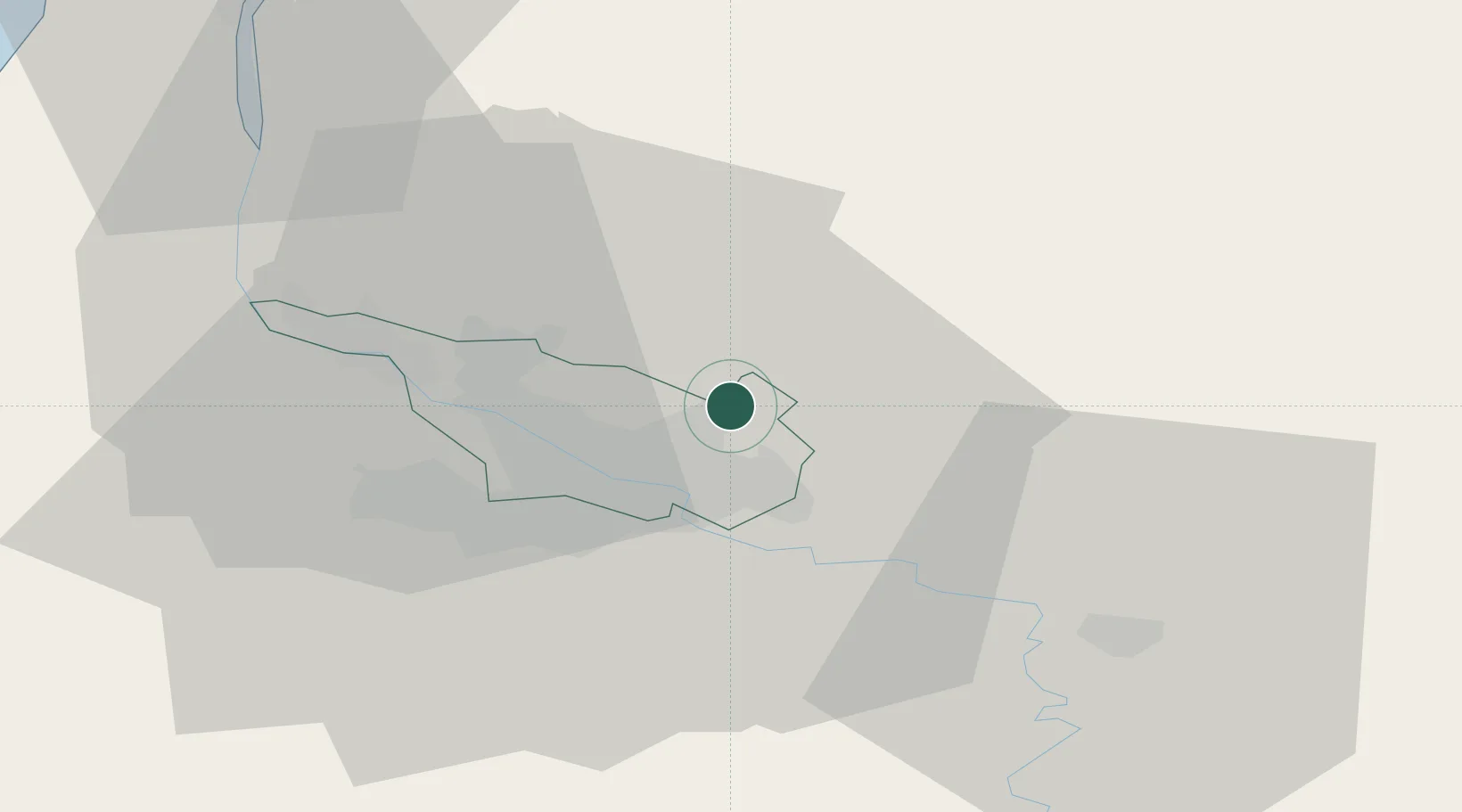
Nearby Logistics Neighbours

Cities
  1. 1Fischerhude9 km
  2. 2Oslebshausen12 km
  3. 3Ritterhude12 km
  4. 4Neuenfelde12 km
  5. 5Bremen13 km
Nearest neighbours — logibook spatial index (haversine) over the source coordinates
Ports
  1. 1Bremen10 km
  2. 2Elsfleth32 km
  3. 3Brake36 km
  4. 4Oldenburg47 km
  5. 5Nordenham48 km
Nearest neighbours — logibook spatial index (haversine) over the source coordinates
Airports
  1. 1Bremen Airport13 km
  2. 2Diepholz Air Base72 km
  3. 3Sea-Airport Cuxhaven/Nordholz / Nordholz Naval Airbase73 km
  4. 4Hamburg-Finkenwerder Airport76 km
  5. 5Uetersen-Heist Airfield77 km
Nearest neighbours — logibook spatial index (haversine) over the source coordinates
Trade Zones
  1. 1Freeport of Bremerhaven (Freihafen Bremerhaven)11 km
  2. 2Freeport of Cuxhaven (Freihafen Cuxhaven)80 km
  3. 3Freeport of Emden117 km
  4. 4Freeport of Kiel157 km
  5. 5Freeport of Duisburg246 km
Nearest neighbours — logibook spatial index (haversine) over the source coordinates
DatabookThe Record of Consolidated Knowledge
Germany beyond logistics?
Browse databook

All Sources

LocationsUN/LOCODE
UN/LOCODE — free
LocationsGeoNames
CC BY 4.0
Portsthe NGA World Port Index
Public domain (US gov)
AirportsOurAirports
Public domain
Trade Zonesthe World Bank SEZ database
CC BY 4.0
Trade ZonesOpen Zone Map
CC BY
← Germany locations