Transport Functions
Multimodal
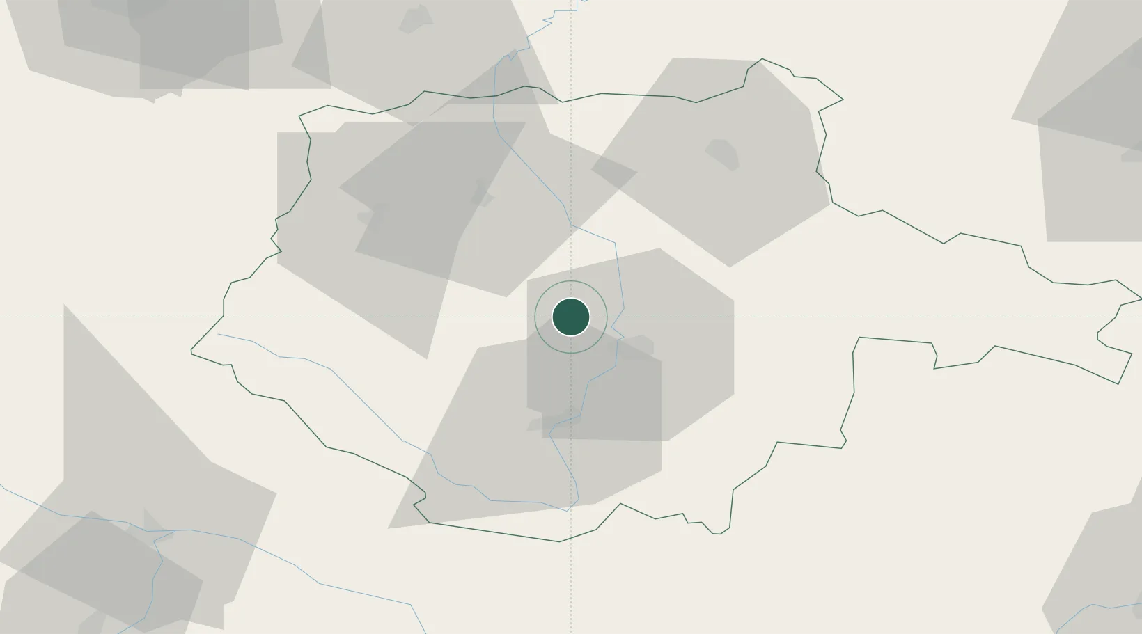
Hub Profile
Place type
Populated place
Region
Jihočeský kraj
Population
3,656
Time zone
Europe/Prague
Elevation
375 m
Location
Nearby Logistics Neighbours
Cities
- 1Hluboká nad Vltavou6 km
- 2Netolice11 km
- 3Ceské Budejovice11 km
- 4Sedlec13 km
- 5Temelín17 km
Ports
- 1Monfalcone368 km
- 2Nogaro377 km
- 3Trieste381 km
- 4Grado381 km
- 5Muggia386 km
Airports
- 1České Budějovice South Bohemian Airport13 km
- 2Linz-Hörsching Airport91 km
- 3Plzeň-Líně Airport104 km
- 4Václav Havel Airport Prague117 km
- 5Prague–Kbely Air Base120 km
Trade Zones
DatabookThe Record of Consolidated Knowledge
Czechia beyond logistics?