Transport Functions
Port
Road
Hub Profile
Place type
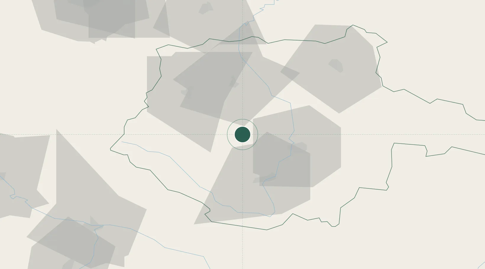
Populated place
Region
Jihočeský kraj
Population
2,721
Time zone
Europe/Prague
Elevation
432 m
Location
Nearby Logistics Neighbours
Cities
- 1Zliv11 km
- 2Strunkovice nad Blanicí12 km
- 3Sedlec16 km
- 4Protivin17 km
- 5Hluboká nad Vltavou17 km
Ports
- 1Monfalcone367 km
- 2Nogaro374 km
- 3Grado379 km
- 4Trieste380 km
- 5Muggia385 km
Airports
- 1České Budějovice South Bohemian Airport20 km
- 2Linz-Hörsching Airport91 km
- 3Plzeň-Líně Airport97 km
- 4Václav Havel Airport Prague117 km
- 5Prague–Kbely Air Base122 km
Trade Zones
DatabookThe Record of Consolidated Knowledge
Czechia beyond logistics?