UN/LOCODE hub · Czechia
CZHLV
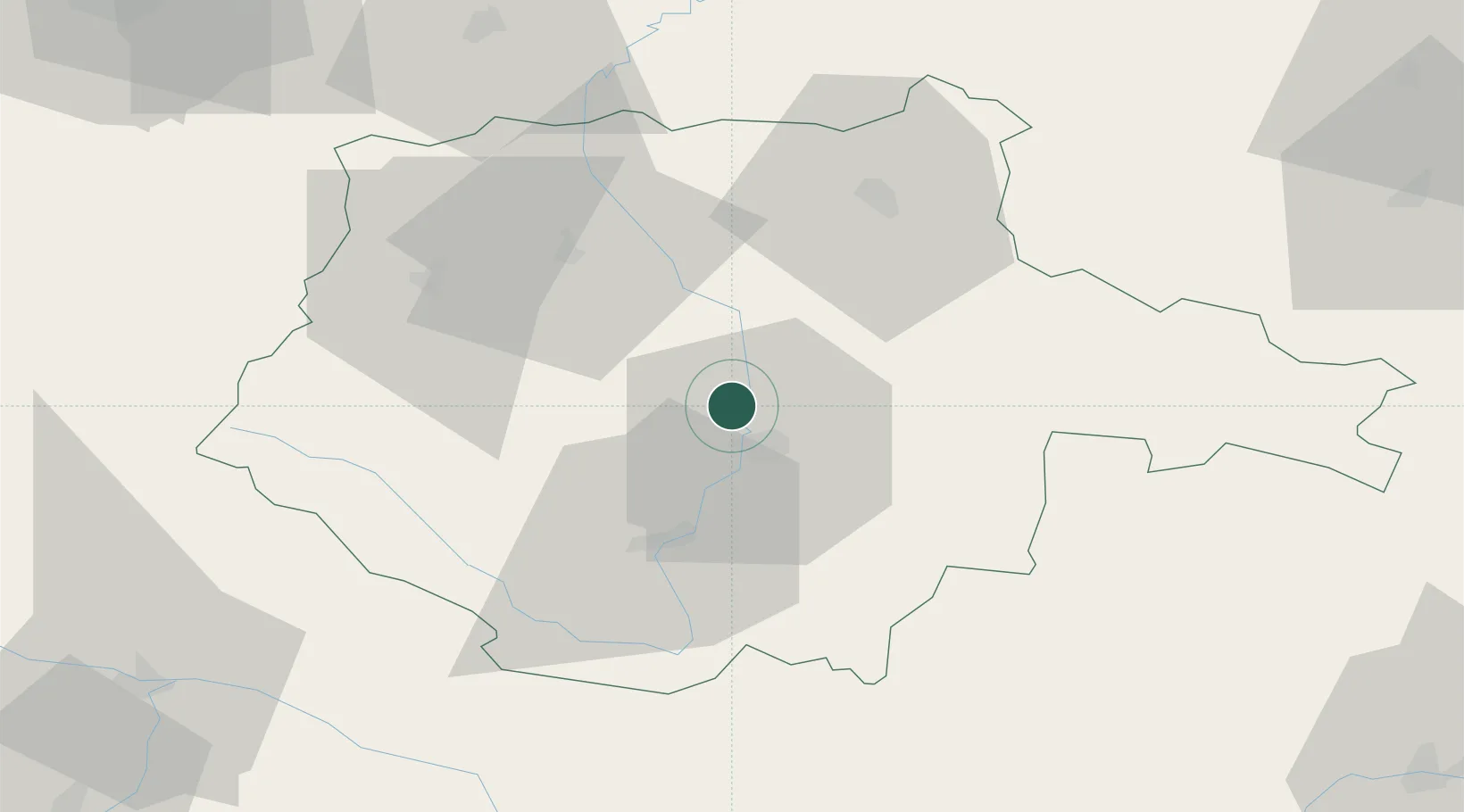
Hluboká nad Vltavou
49.0500°, 14.4333°
4,682
Population
2
Transport functions
Transport Functions
Rail
Road
Hub Profile
Place type
Populated place
Region
Jihočeský kraj
Population
4,682
Time zone
Europe/Prague
Elevation
394 m
Location
Nearby Logistics Neighbours
Cities
- 1Zliv6 km
- 2Ceské Budejovice8 km
- 3Lisov13 km
- 4Sedlec15 km
- 5Netolice17 km
Ports
- 1Monfalcone369 km
- 2Nogaro378 km
- 3Trieste382 km
- 4Grado383 km
- 5Muggia387 km
Airports
- 1České Budějovice South Bohemian Airport11 km
- 2Linz-Hörsching Airport92 km
- 3Plzeň-Líně Airport109 km
- 4Václav Havel Airport Prague118 km
- 5Prague–Kbely Air Base119 km
Trade Zones
DatabookThe Record of Consolidated Knowledge
Czechia beyond logistics?