UN/LOCODE hub · Czechia
CZCKB
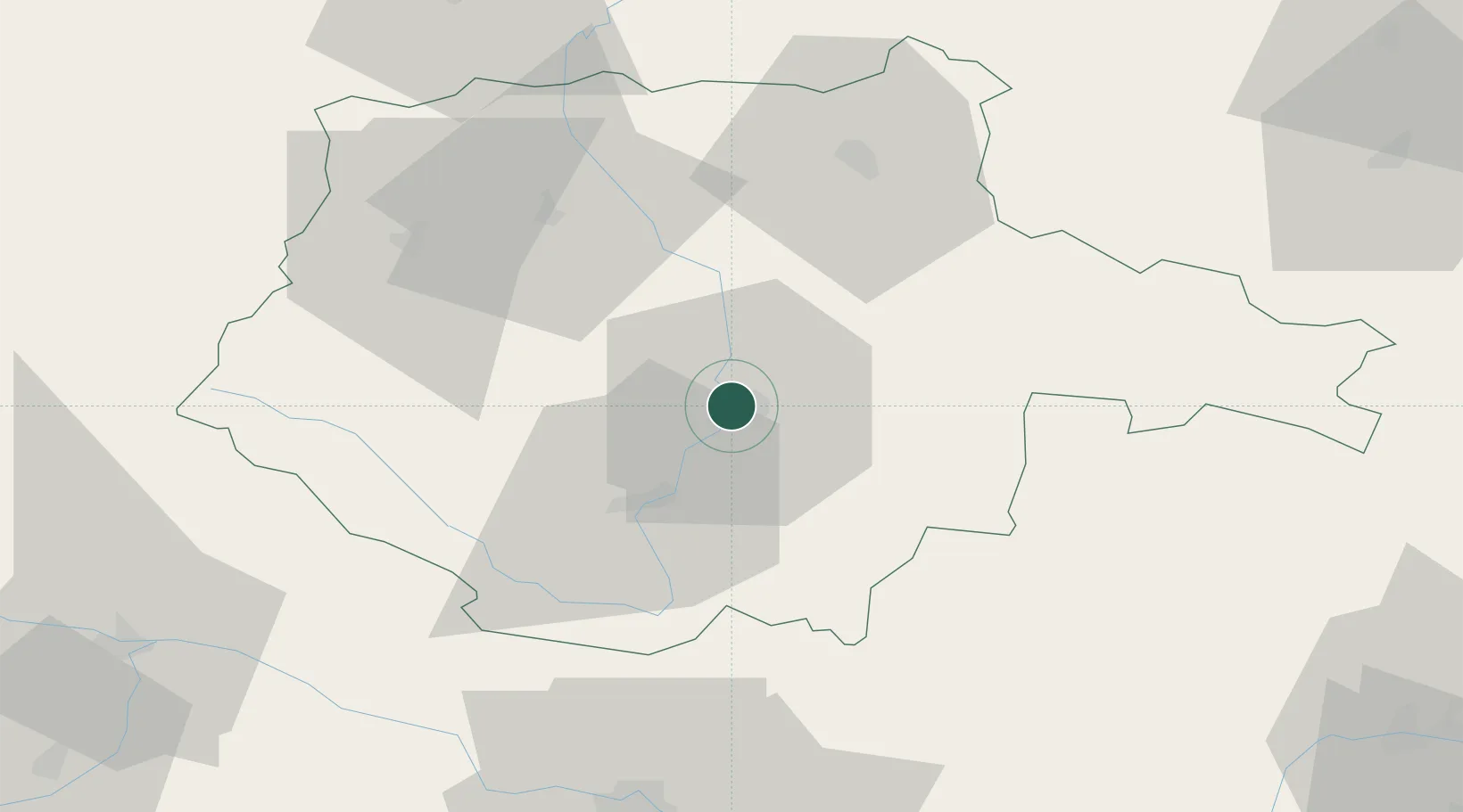
Ceské Budejovice
48.9833°, 14.4667°
93,426
Population
3
Transport functions
Transport Functions
Rail
Road
Postal
Hub Profile
Place type
Regional capital
Region
Jihočeský kraj
Population
93,426
Time zone
Europe/Prague
Elevation
381 m
Location
Nearby Logistics Neighbours
Cities
- 1Hluboká nad Vltavou8 km
- 2Lisov10 km
- 3Zliv11 km
- 4Borovany16 km
- 5Neplachov21 km
Ports
- 1Monfalcone362 km
- 2Nogaro372 km
- 3Trieste375 km
- 4Grado376 km
- 5Muggia380 km
Airports
- 1České Budějovice South Bohemian Airport5 km
- 2Linz-Hörsching Airport86 km
- 3Plzeň-Líně Airport116 km
- 4Náměšť Air Base122 km
- 5Václav Havel Airport Prague125 km
Trade Zones
DatabookThe Record of Consolidated Knowledge
Czechia beyond logistics?