Transport Functions
Road
Multimodal
Hub Profile
Place type
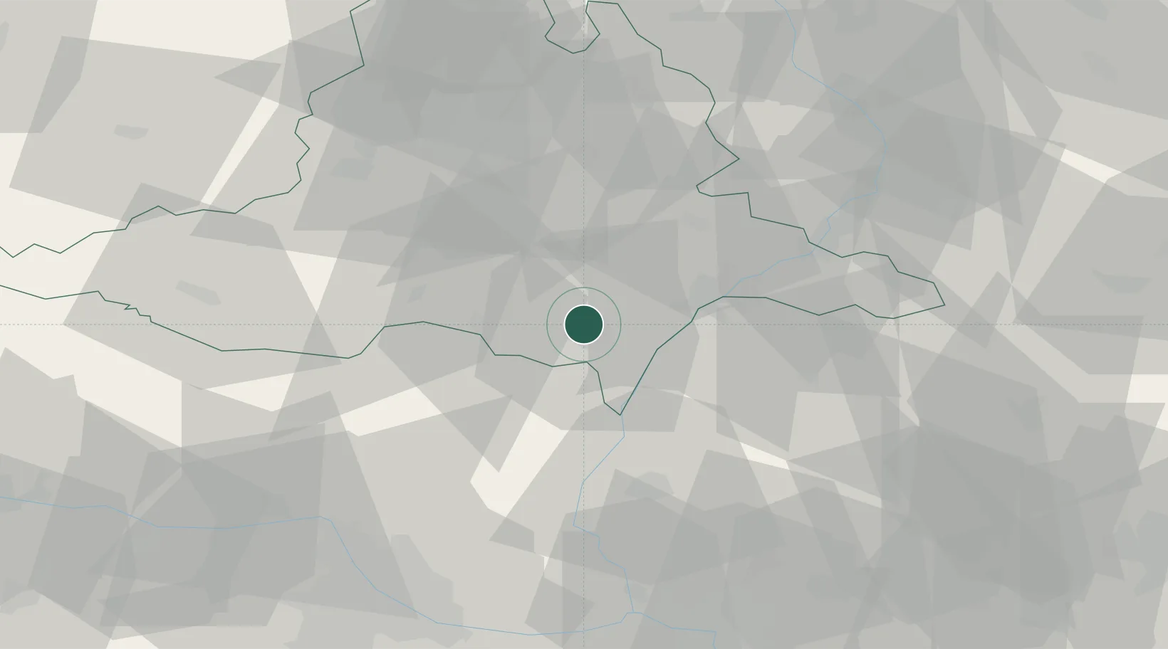
Populated place
Region
South Moravian
Population
1,261
Time zone
Europe/Prague
Elevation
160 m
Location
Nearby Logistics Neighbours
Cities
- 1Moravsky Zizkov4 km
- 2Postorna6 km
- 3Rakvice6 km
- 4Hrusky/Breclav9 km
- 5Prusánky9 km
Ports
- 1Monfalcone418 km
- 2Trieste422 km
- 3Muggia426 km
- 4Rijeka Luka427 km
- 5Bakar427 km
Airports
- 1Brno-Tuřany Airport41 km
- 2Malacky/Kuchyňa Air Base48 km
- 3Kunovice Airport49 km
- 4Náměšť Air Base68 km
- 5Piešťany Airport73 km
Trade Zones
DatabookThe Record of Consolidated Knowledge
Czechia beyond logistics?