Transport Functions
Rail
Road
Hub Profile
Place type
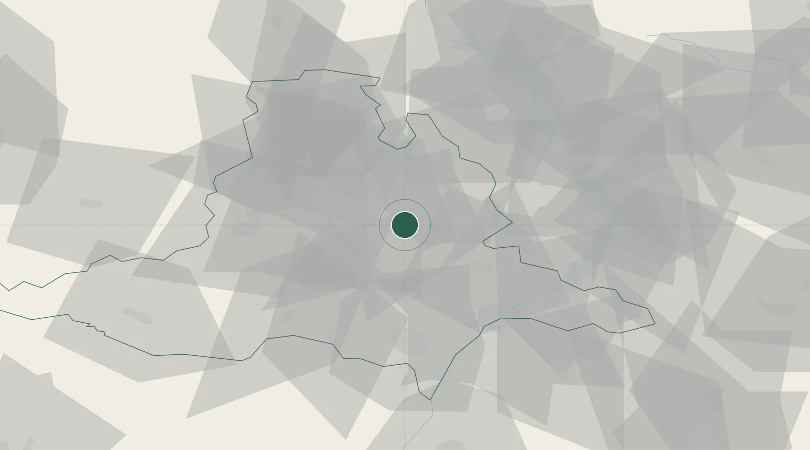
Populated place
Region
South Moravian
Population
7,258
Time zone
Europe/Prague
Elevation
211 m
Location
Nearby Logistics Neighbours
Cities
- 1Jiríkovice9 km
- 2Slapanice9 km
- 3Zdánice16 km
- 4Brno18 km
- 5Klobouky U Brna19 km
Ports
- 1Monfalcone450 km
- 2Trieste454 km
- 3Muggia459 km
- 4Rijeka Luka462 km
- 5Bakar463 km
Airports
- 1Brno-Tuřany Airport13 km
- 2Kunovice Airport44 km
- 3Přerov Air Base50 km
- 4Náměšť Air Base54 km
- 5Malacky/Kuchyňa Air Base85 km
Trade Zones
DatabookThe Record of Consolidated Knowledge
Czechia beyond logistics?