Transport Functions
Rail
Road
Hub Profile
Place type
Populated place
Region
South Moravian
Population
913
Time zone
Europe/Prague
Elevation
247 m
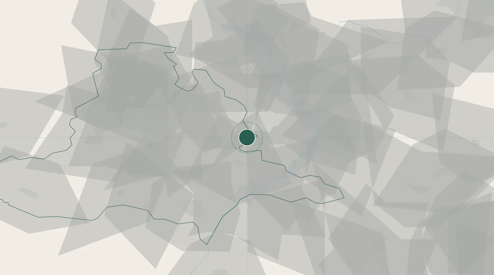
Location
Nearby Logistics Neighbours
Cities
- 1Moravany11 km
- 2Morkovice-Slízany12 km
- 3Zdánice12 km
- 4Zborovice15 km
- 5Kostelec20 km
Ports
- 1Monfalcone462 km
- 2Trieste466 km
- 3Muggia470 km
- 4Rijeka Luka471 km
- 5Bakar471 km
Airports
- 1Kunovice Airport25 km
- 2Brno-Tuřany Airport33 km
- 3Přerov Air Base36 km
- 4Náměšť Air Base75 km
- 5Piešťany Airport77 km
Trade Zones
DatabookThe Record of Consolidated Knowledge
Czechia beyond logistics?