UN/LOCODE hub · Czechia
CZVME
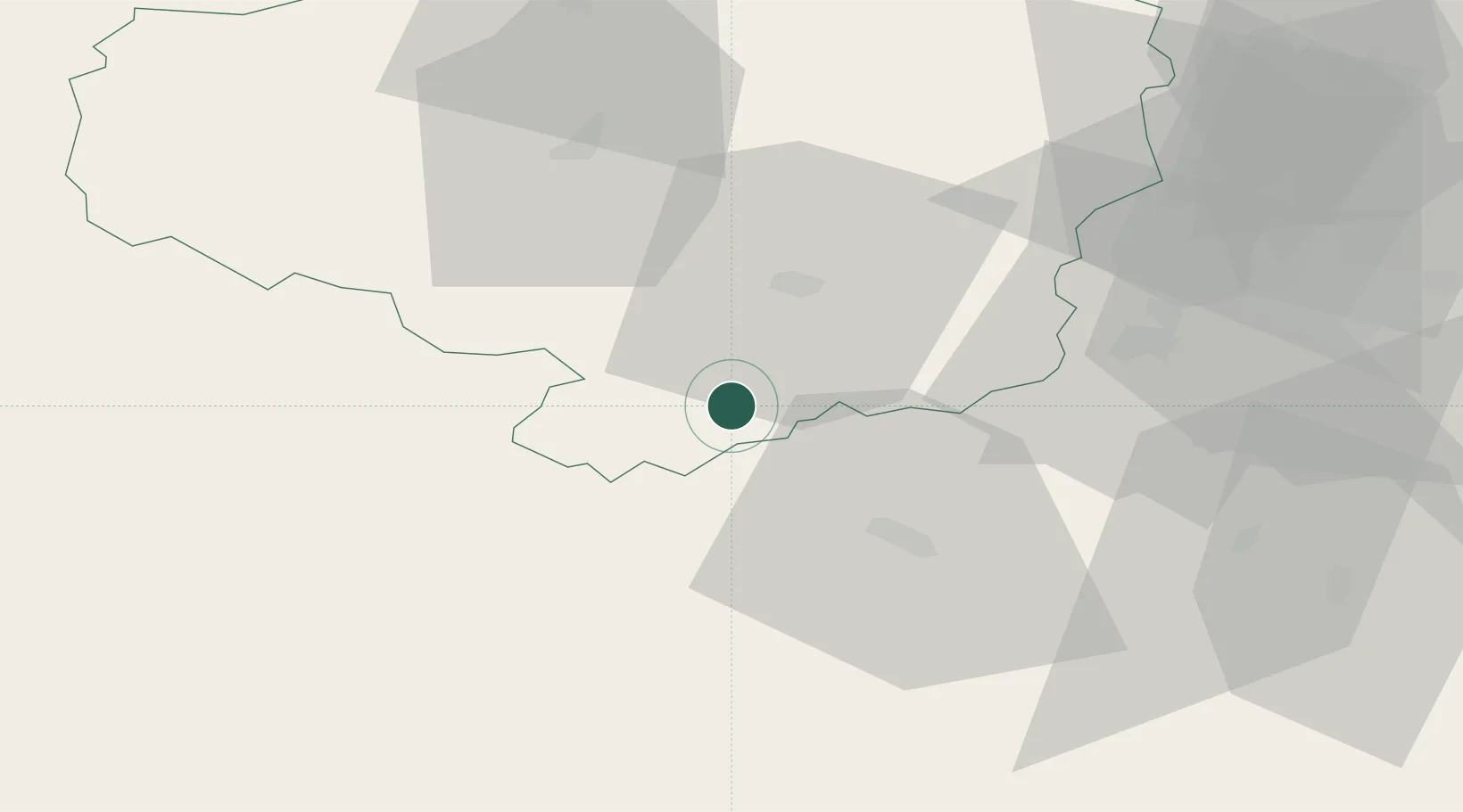
Moravske Budejovice
49.0500°, 15.8000°
7,098
Population
1
Transport functions
Transport Functions
Multimodal
Hub Profile
Place type
Populated place
Region
Vysočina
Population
7,098
Time zone
Europe/Prague
Elevation
465 m
Location
Nearby Logistics Neighbours
Cities
- 1Mezimesti u Broumova0 km
- 2Rácovice9 km
- 3Jevisovice16 km
- 4Jemnice17 km
- 5Trebíc20 km
Ports
- 1Monfalcone401 km
- 2Trieste408 km
- 3Muggia413 km
- 4Nogaro416 km
- 5Grado418 km
Airports
- 1Náměšť Air Base27 km
- 2Brno-Tuřany Airport66 km
- 3České Budějovice South Bohemian Airport101 km
- 4Čáslav Air Base103 km
- 5Pardubice Airport107 km
Trade Zones
DatabookThe Record of Consolidated Knowledge
Czechia beyond logistics?