Transport Functions
Rail
Road
Hub Profile
Place type
Populated place
Region
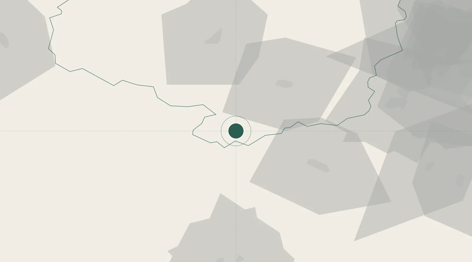
Vysočina
Population
105
Time zone
Europe/Prague
Elevation
460 m
Location
Nearby Logistics Neighbours
Cities
- 1Jemnice9 km
- 2Mezimesti u Broumova9 km
- 3Moravske Budejovice9 km
- 4Olsany21 km
- 5Jevisovice23 km
Ports
- 1Monfalcone394 km
- 2Trieste402 km
- 3Muggia406 km
- 4Nogaro409 km
- 5Grado411 km
Airports
- 1Náměšť Air Base36 km
- 2Brno-Tuřany Airport75 km
- 3České Budějovice South Bohemian Airport92 km
- 4Čáslav Air Base105 km
- 5Pardubice Airport111 km
Trade Zones
DatabookThe Record of Consolidated Knowledge
Czechia beyond logistics?