Transport Functions
Rail
Road
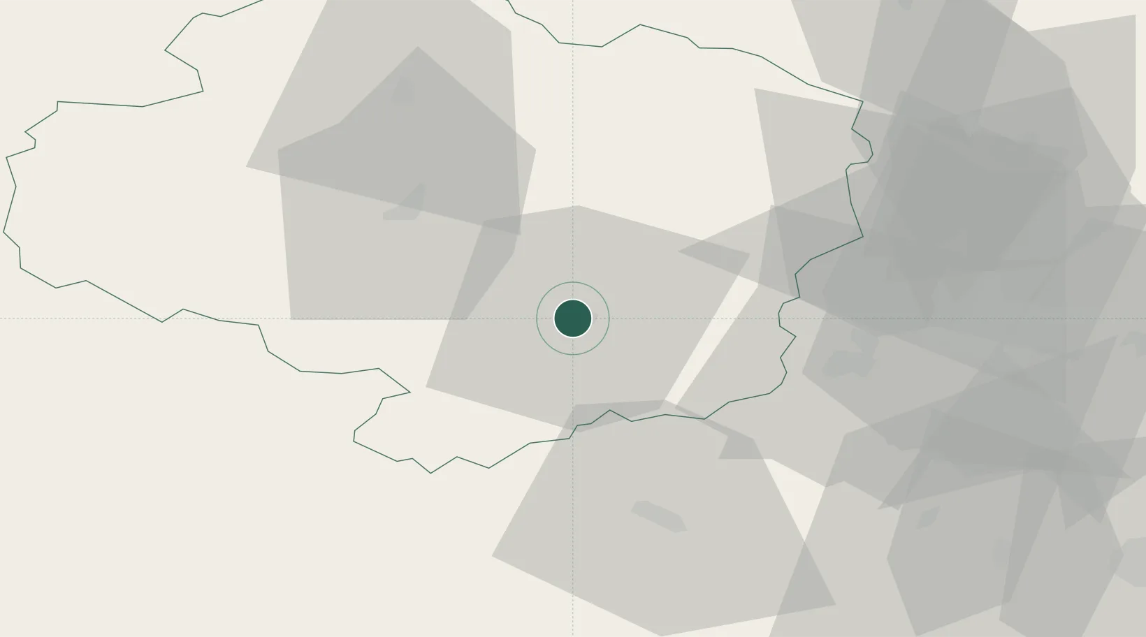
Hub Profile
Place type
Populated place
Region
Vysočina
Population
34,530
Time zone
Europe/Prague
Elevation
405 m
Location
Nearby Logistics Neighbours
Cities
- 1Okrisky9 km
- 2Hrotovice15 km
- 3Polna18 km
- 4Mezimesti u Broumova20 km
- 5Moravske Budejovice20 km
Ports
- 1Monfalcone420 km
- 2Trieste428 km
- 3Muggia433 km
- 4Nogaro435 km
- 5Grado437 km
Airports
- 1Náměšť Air Base18 km
- 2Brno-Tuřany Airport59 km
- 3Čáslav Air Base88 km
- 4Pardubice Airport89 km
- 5České Budějovice South Bohemian Airport110 km
Trade Zones
DatabookThe Record of Consolidated Knowledge
Czechia beyond logistics?