Transport Functions
Port
Road
Hub Profile
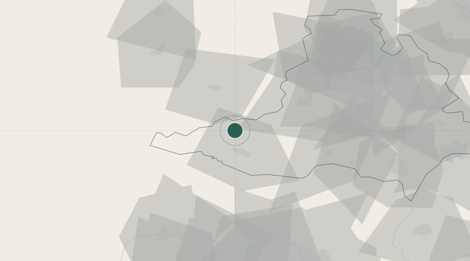
Place type
Populated place
Region
South Moravian
Population
1,162
Time zone
Europe/Prague
Elevation
365 m
Location
Nearby Logistics Neighbours
Cities
- 1Mezimesti u Broumova16 km
- 2Moravske Budejovice16 km
- 3Hrotovice17 km
- 4Rácovice23 km
- 5Retz26 km
Ports
- 1Monfalcone401 km
- 2Trieste408 km
- 3Muggia412 km
- 4Nogaro417 km
- 5Grado418 km
Airports
- 1Náměšť Air Base22 km
- 2Brno-Tuřany Airport54 km
- 3Malacky/Kuchyňa Air Base105 km
- 4Kunovice Airport105 km
- 5Vienna International Airport106 km
Trade Zones
DatabookThe Record of Consolidated Knowledge
Czechia beyond logistics?