Transport Functions
Multimodal
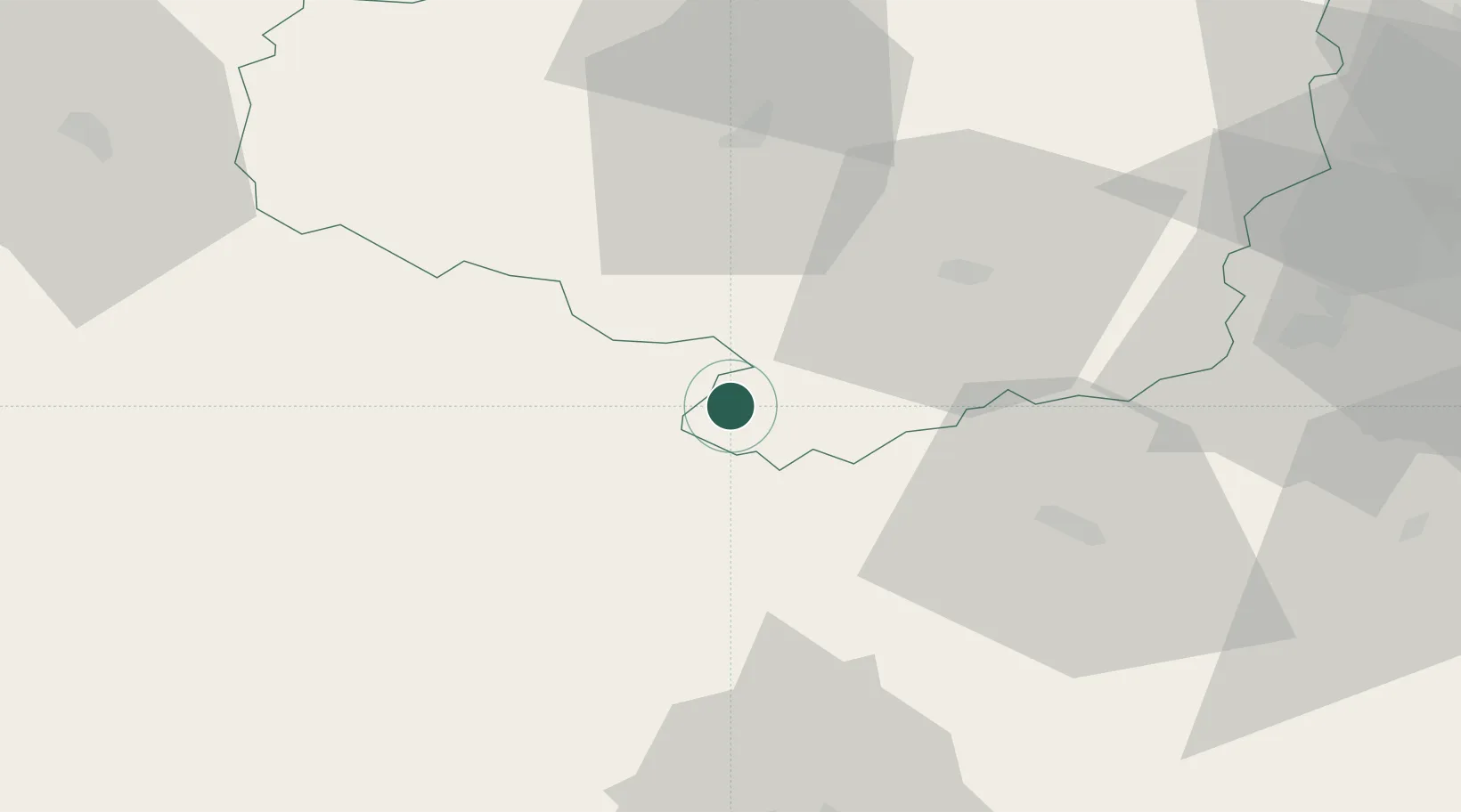
Hub Profile
Place type
Populated place
Region
Vysočina
Population
4,311
Time zone
Europe/Prague
Elevation
484 m
Location
Nearby Logistics Neighbours
Cities
- 1Rácovice9 km
- 2Olsany17 km
- 3Mezimesti u Broumova17 km
- 4Moravske Budejovice17 km
- 5Okrisky27 km
Ports
- 1Monfalcone392 km
- 2Trieste400 km
- 3Muggia405 km
- 4Nogaro406 km
- 5Grado408 km
Airports
- 1Náměšť Air Base43 km
- 2Brno-Tuřany Airport83 km
- 3České Budějovice South Bohemian Airport84 km
- 4Čáslav Air Base102 km
- 5Pardubice Airport110 km
Trade Zones
DatabookThe Record of Consolidated Knowledge
Czechia beyond logistics?