UN/LOCODE hub · Czechia
CZKRH

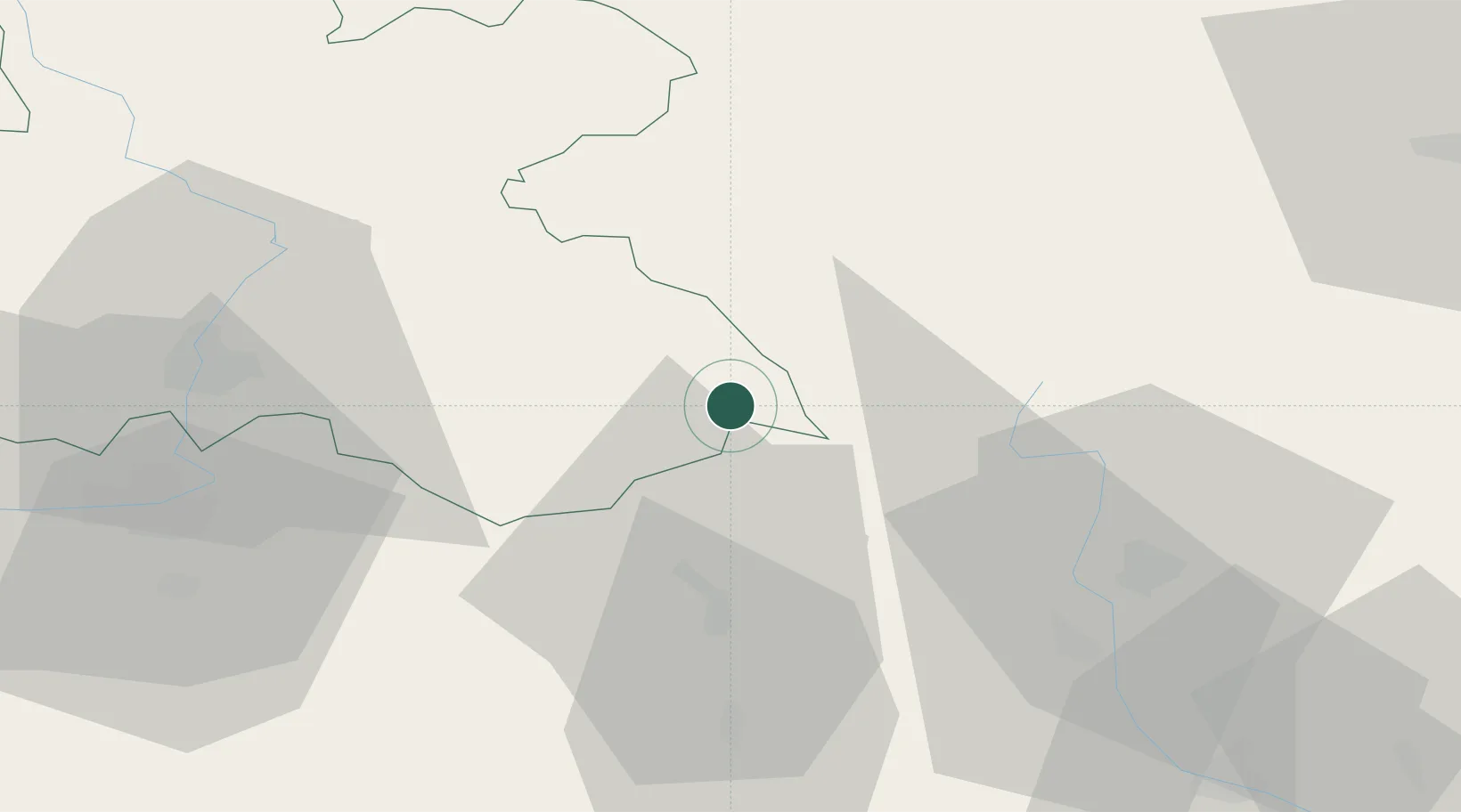
Rokytnice v Orlickych Horach

50.1667°, 16.4667°
2,463
Population
1
Transport functions

Transport Functions

Multimodal
UN/LOCODE

Hub Profile

Place type
Populated place
GeoNames
Region
Královéhradecký kraj
GeoNames
Population
2,463
GeoNames
Time zone
Europe/Prague
GeoNames
Elevation
574 m
GeoNames

Location

Location of CZKRH
Natural Earth 10m (public domain) · Královéhradecký kraj · CZKRH · 50.17, 16.47GoogleOSMYandex

Nearby Logistics Neighbours

Cities
  1. 1Pisecna u Jeseniku13 km
  2. 2Miedzylesie14 km
  3. 3Vamberk15 km
  4. 4Kvasiny15 km
  5. 5Doudleby nad Orlicí17 km
Nearest neighbours — logibook spatial index (haversine) over the source coordinates
Ports
  1. 1Szczecin385 km
  2. 2Police400 km
  3. 3Swinoujscie443 km
  4. 4Kolobrzeg455 km
  5. 5Wolgast469 km
Nearest neighbours — logibook spatial index (haversine) over the source coordinates
Airports
  1. 1Pardubice Airport55 km
  2. 2Čáslav Air Base82 km
  3. 3Přerov Air Base106 km
  4. 4Copernicus Wrocław Airport108 km
  5. 5Kostomlaty Airstrip110 km
Nearest neighbours — logibook spatial index (haversine) over the source coordinates
Trade Zones
  1. 1Pardubice City Industrial Zone49 km
  2. 2Bruntál Industrial Zone74 km
  3. 3Wałbrzych SEZ INVEST-PARK (Wałbrzyska SSE)74 km
  4. 4Kamienna Góra76 km
  5. 5Industrial Zone Kutna Hora88 km
Nearest neighbours — logibook spatial index (haversine) over the source coordinates
DatabookThe Record of Consolidated Knowledge
Czechia beyond logistics?
Browse databook

All Sources

LocationsUN/LOCODE
UN/LOCODE — free
LocationsGeoNames
CC BY 4.0
Portsthe NGA World Port Index
Public domain (US gov)
AirportsOurAirports
Public domain
Trade Zonesthe World Bank SEZ database
CC BY 4.0
Trade ZonesOpen Zone Map
CC BY
← Czechia locations