Transport Functions
Rail
Road
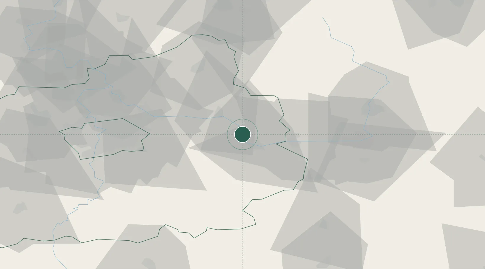
Hub Profile
Place type
Populated place
Region
Central Bohemia
Population
1,301
Time zone
Europe/Prague
Elevation
192 m
Location
Nearby Logistics Neighbours
Cities
- 1Velký Osek2 km
- 2Libice nad Cidlinou4 km
- 3Kolín8 km
- 4Smirice10 km
- 5Zverínek14 km
Ports
- 1Szczecin373 km
- 2Police390 km
- 3Swinoujscie431 km
- 4Wolgast451 km
- 5Kolobrzeg460 km
Airports
- 1Kostomlaty Airstrip22 km
- 2Čáslav Air Base22 km
- 3Pardubice Airport42 km
- 4Prague–Kbely Air Base45 km
- 5Vodochody Airport57 km
Trade Zones
DatabookThe Record of Consolidated Knowledge
Czechia beyond logistics?