Transport Functions
Multimodal
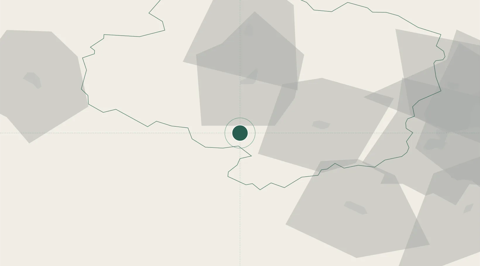
Hub Profile
Place type
Populated place
Region
Vysočina
Population
61
Time zone
Europe/Prague
Elevation
623 m
Location
Nearby Logistics Neighbours
Ports
- 1Monfalcone407 km
- 2Trieste416 km
- 3Muggia420 km
- 4Nogaro421 km
- 5Grado423 km
Airports
- 1Náměšť Air Base42 km
- 2Brno-Tuřany Airport83 km
- 3Čáslav Air Base85 km
- 4České Budějovice South Bohemian Airport86 km
- 5Pardubice Airport94 km
Trade Zones
DatabookThe Record of Consolidated Knowledge
Czechia beyond logistics?