Transport Functions
Rail
Road
Hub Profile
Place type
Populated place
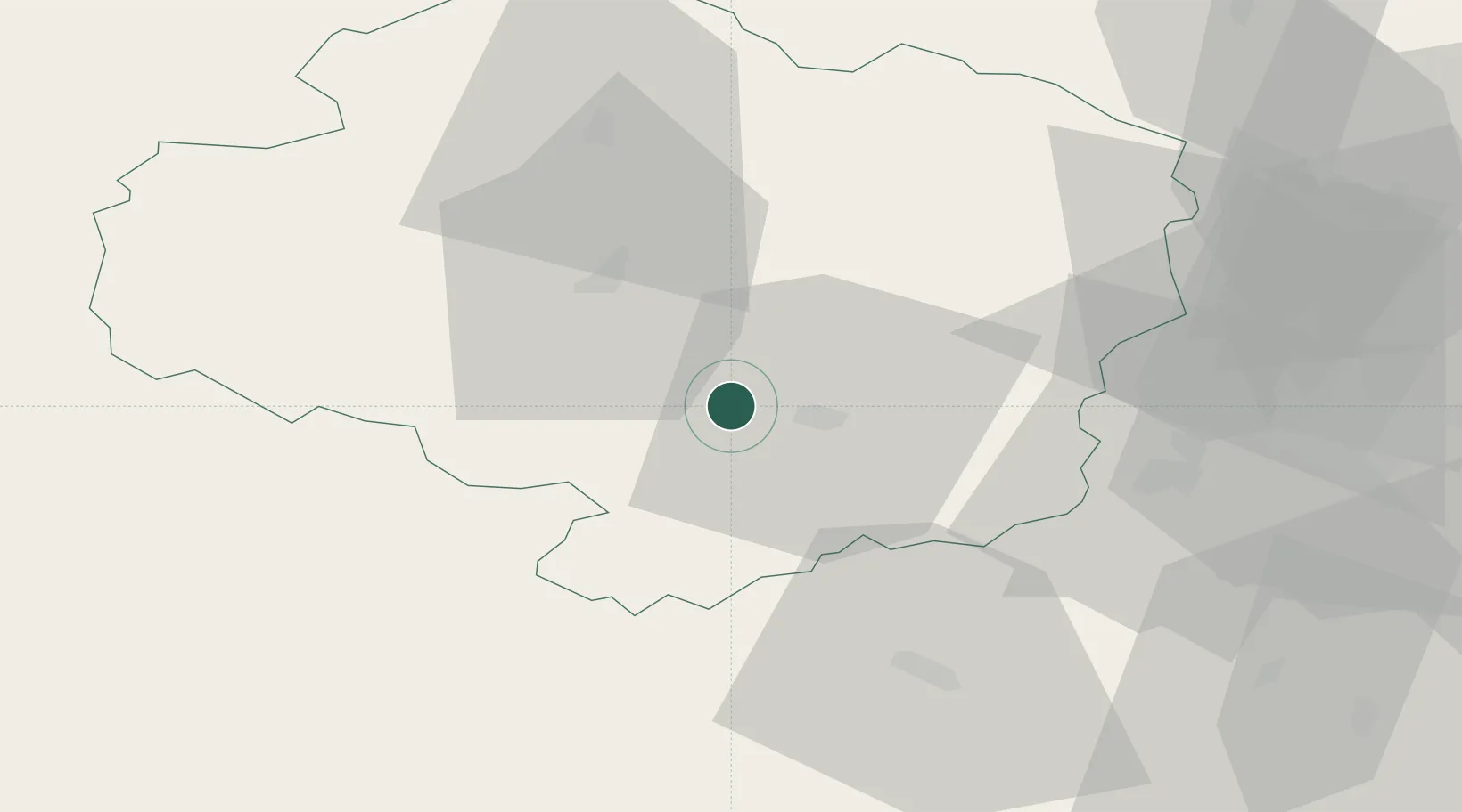
Region
Vysočina
Population
2,016
Time zone
Europe/Prague
Elevation
477 m
Location
Nearby Logistics Neighbours
Cities
- 1Trebíc9 km
- 2Polna12 km
- 3Olsany17 km
- 4Mezimesti u Broumova21 km
- 5Moravske Budejovice21 km
Ports
- 1Monfalcone418 km
- 2Trieste426 km
- 3Muggia431 km
- 4Nogaro433 km
- 5Grado435 km
Airports
- 1Náměšť Air Base27 km
- 2Brno-Tuřany Airport68 km
- 3Čáslav Air Base83 km
- 4Pardubice Airport87 km
- 5České Budějovice South Bohemian Airport103 km
Trade Zones
DatabookThe Record of Consolidated Knowledge
Czechia beyond logistics?