Transport Functions
Multimodal
Hub Profile
Place type
Populated place
Region
Vysočina
Population
1,784
Time zone
Europe/Prague
Elevation
417 m
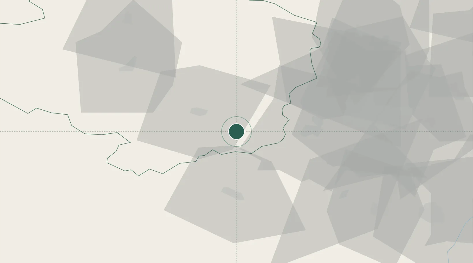
Location
Nearby Logistics Neighbours
Cities
- 1Námest nad Oslavou13 km
- 2Trebíc15 km
- 3Rapotice17 km
- 4Jevisovice17 km
- 5Mezimesti u Broumova20 km
Ports
- 1Monfalcone417 km
- 2Trieste424 km
- 3Muggia429 km
- 4Nogaro433 km
- 5Grado435 km
Airports
- 1Náměšť Air Base7 km
- 2Brno-Tuřany Airport47 km
- 3Pardubice Airport101 km
- 4Čáslav Air Base102 km
- 5Kunovice Airport102 km
Trade Zones
DatabookThe Record of Consolidated Knowledge
Czechia beyond logistics?