Transport Functions
Rail
Road
Multimodal
Hub Profile
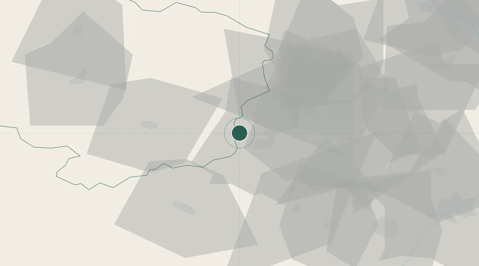
Place type
Populated place
Region
Vysočina
Population
462
Time zone
Europe/Prague
Elevation
496 m
Location
Nearby Logistics Neighbours
Cities
- 1Zbysov6 km
- 2Zastávka8 km
- 3Námest nad Oslavou8 km
- 4Rosice9 km
- 5Hrotovice17 km
Ports
- 1Monfalcone430 km
- 2Trieste436 km
- 3Muggia441 km
- 4Nogaro446 km
- 5Koper447 km
Airports
- 1Náměšť Air Base11 km
- 2Brno-Tuřany Airport31 km
- 3Přerov Air Base87 km
- 4Kunovice Airport87 km
- 5Pardubice Airport100 km
Trade Zones
DatabookThe Record of Consolidated Knowledge
Czechia beyond logistics?