UN/LOCODE hub · Czechia
CZNAM
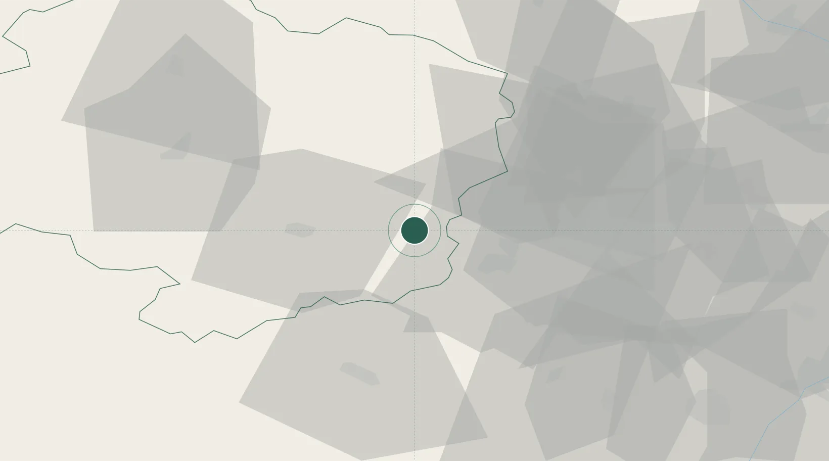
Námest nad Oslavou
49.2167°, 16.1667°
4,767
Population
2
Transport functions
Transport Functions
Rail
Road
Hub Profile
Place type
Populated place
Region
Vysočina
Population
4,767
Time zone
Europe/Prague
Elevation
360 m
Location
Nearby Logistics Neighbours
Ports
- 1Monfalcone429 km
- 2Trieste436 km
- 3Muggia441 km
- 4Nogaro446 km
- 5Grado447 km
Airports
- 1Náměšť Air Base6 km
- 2Brno-Tuřany Airport39 km
- 3Přerov Air Base93 km
- 4Pardubice Airport94 km
- 5Kunovice Airport95 km
Trade Zones
DatabookThe Record of Consolidated Knowledge
Czechia beyond logistics?