Transport Functions
Multimodal
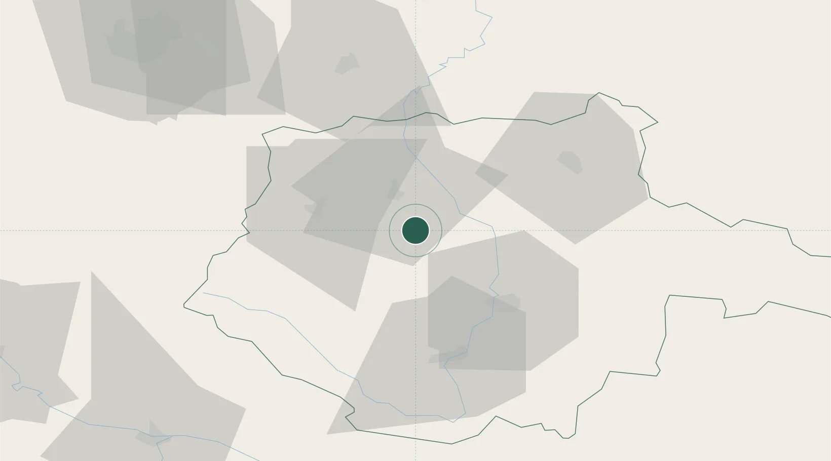
Hub Profile
Place type
Populated place
Region
Jihočeský kraj
Population
4,760
Time zone
Europe/Prague
Elevation
388 m
Location
Nearby Logistics Neighbours
Cities
- 1Sedlec9 km
- 2Temelín10 km
- 3Pisek12 km
- 4Netolice17 km
- 5Strunkovice nad Blanicí18 km
Ports
- 1Monfalcone383 km
- 2Nogaro391 km
- 3Grado396 km
- 4Trieste396 km
- 5Muggia402 km
Airports
- 1České Budějovice South Bohemian Airport32 km
- 2Plzeň-Líně Airport86 km
- 3Václav Havel Airport Prague100 km
- 4Prague–Kbely Air Base105 km
- 5Linz-Hörsching Airport107 km
Trade Zones
DatabookThe Record of Consolidated Knowledge
Czechia beyond logistics?