Transport Functions
Port
Rail
Road
Hub Profile
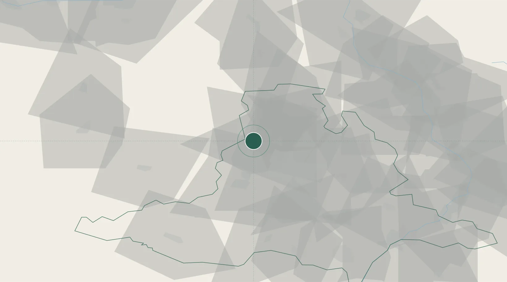
Place type
Populated place
Region
South Moravian
Population
9,225
Time zone
Europe/Prague
Elevation
256 m
Location
Nearby Logistics Neighbours
Cities
- 1Veverská Bityska8 km
- 2Zastávka17 km
- 3Rosice19 km
- 4Nemcice21 km
- 5Rapotice22 km
Ports
- 1Monfalcone452 km
- 2Trieste458 km
- 3Muggia463 km
- 4Nogaro468 km
- 5Koper469 km
Airports
- 1Brno-Tuřany Airport29 km
- 2Náměšť Air Base30 km
- 3Přerov Air Base71 km
- 4Kunovice Airport81 km
- 5Pardubice Airport89 km
Trade Zones
DatabookThe Record of Consolidated Knowledge
Czechia beyond logistics?