Transport Functions
Rail
Road
Hub Profile
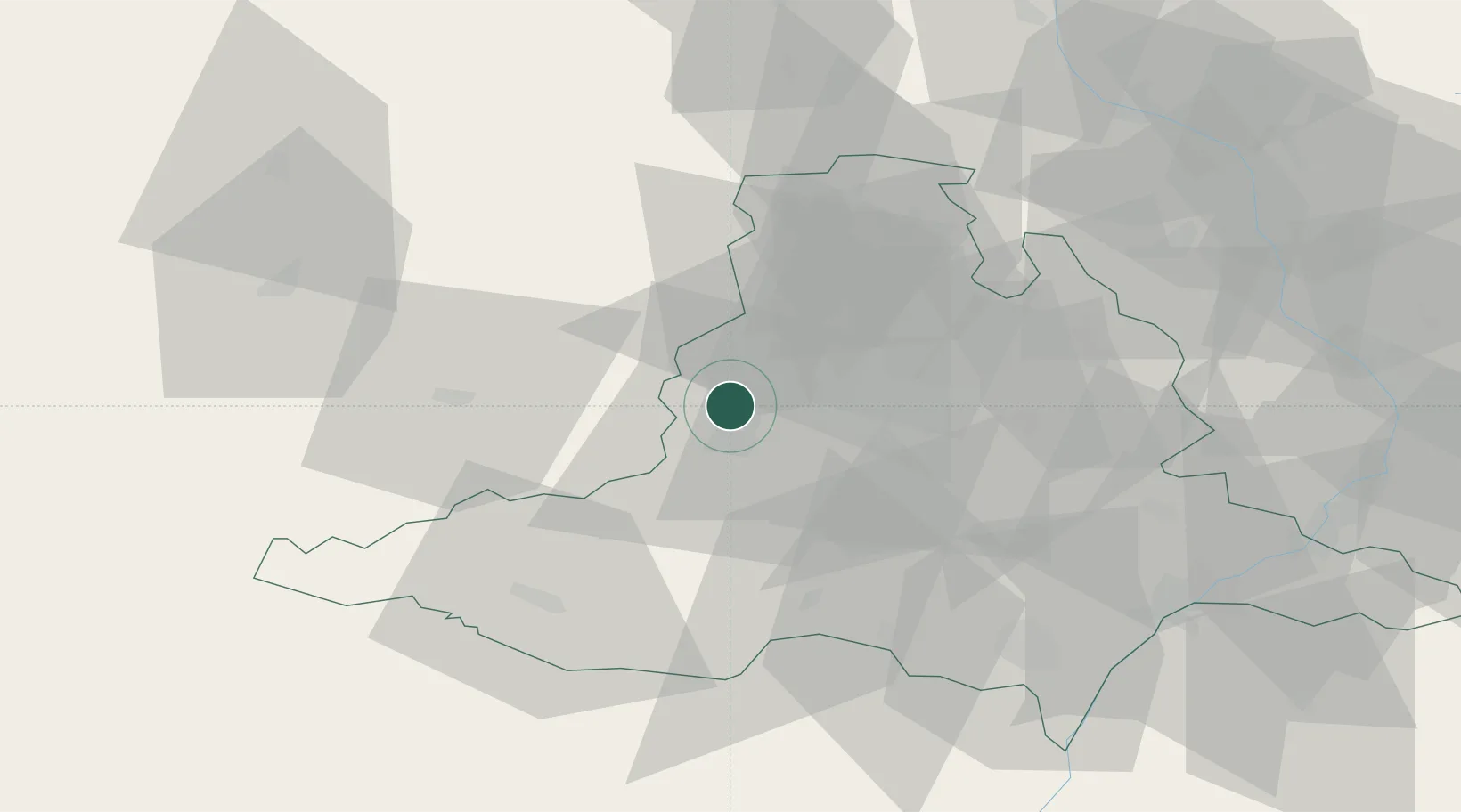
Place type
Populated place
Region
South Moravian
Population
2,495
Time zone
Europe/Prague
Elevation
318 m
Location
Nearby Logistics Neighbours
Cities
- 1Rosice2 km
- 2Zbysov6 km
- 3Rapotice8 km
- 4Veverská Bityska11 km
- 5Strelice11 km
Ports
- 1Monfalcone435 km
- 2Trieste441 km
- 3Muggia446 km
- 4Koper452 km
- 5Nogaro452 km
Airports
- 1Náměšť Air Base18 km
- 2Brno-Tuřany Airport24 km
- 3Přerov Air Base79 km
- 4Kunovice Airport80 km
- 5Pardubice Airport101 km
Trade Zones
DatabookThe Record of Consolidated Knowledge
Czechia beyond logistics?