UN/LOCODE hub · Czechia
CZVAA
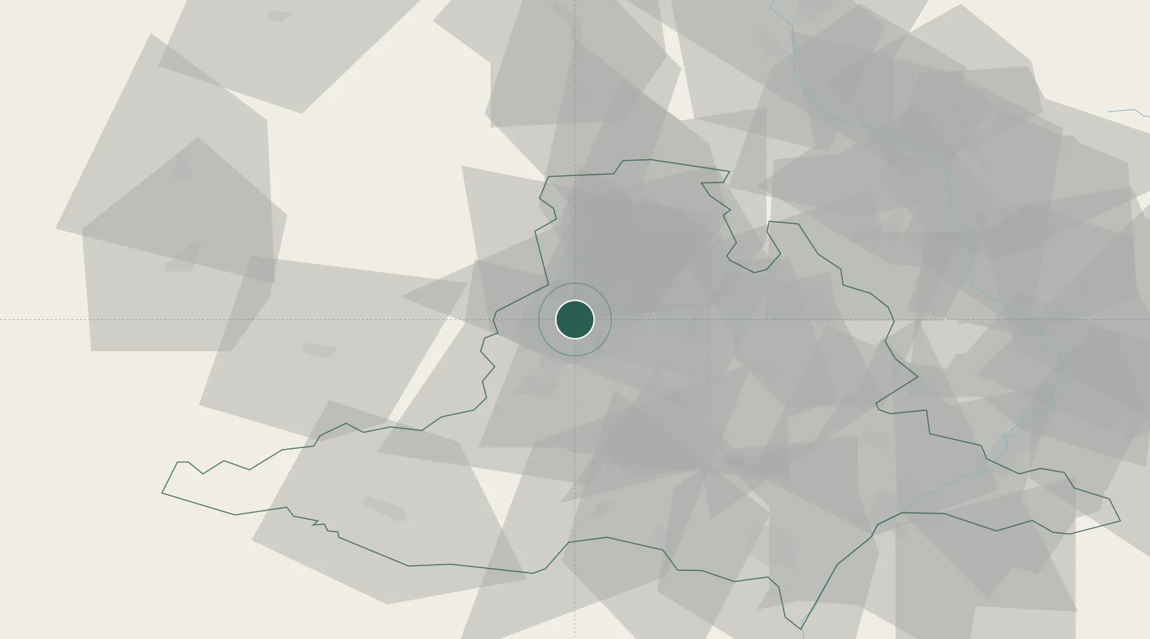
Veverská Bityska
49.2833°, 16.4500°
2,842
Population
3
Transport functions
Transport Functions
Port
Rail
Road
Hub Profile
Place type
Populated place
Region
South Moravian
Population
2,842
Time zone
Europe/Prague
Elevation
235 m
Location
Nearby Logistics Neighbours
Ports
- 1Monfalcone446 km
- 2Trieste452 km
- 3Muggia457 km
- 4Koper463 km
- 5Nogaro463 km
Airports
- 1Brno-Tuřany Airport23 km
- 2Náměšť Air Base27 km
- 3Přerov Air Base71 km
- 4Kunovice Airport77 km
- 5Pardubice Airport96 km
Trade Zones
DatabookThe Record of Consolidated Knowledge
Czechia beyond logistics?